Tools
Calculation Programs and Software Development
The SGAI studio is looking for constant improvement using the latest technologies.
Since 1974 it uses the latest generation of electronic processors with the highest power available.
The softwares used by the SGAI Studio in the various engineering sectors are the following:
- Structural Design
- Road Design and Digital Terrain Model (DTM)
- Geotechnical and Geomechanical Design, Tunnels Design
- Thermotechnical Design
- Hydraulic Design
- Hydrogeology, Hydrology and Water chemistry
- Metric calculations, Price Analysis and Safety
Softwares developed in-house
For the resolution of engineering problems the engineer Filippo Forlani has developed the following softwares for the SGAI Studio (some are free):
- SGAI Tools
- SGAIS urf
- SGAI 3D Rock Fall Simulation
- SGAI Hydro Geologist
- SGAI View and SGAIppMOD
- SGAI Bishop
- SGAI Wedge
- SGAI Piper
- SGAI Cartho
BIM - Building Information Modeling
The design activity is increasingly demanding and competitive this requires modernizing and updating work organization.
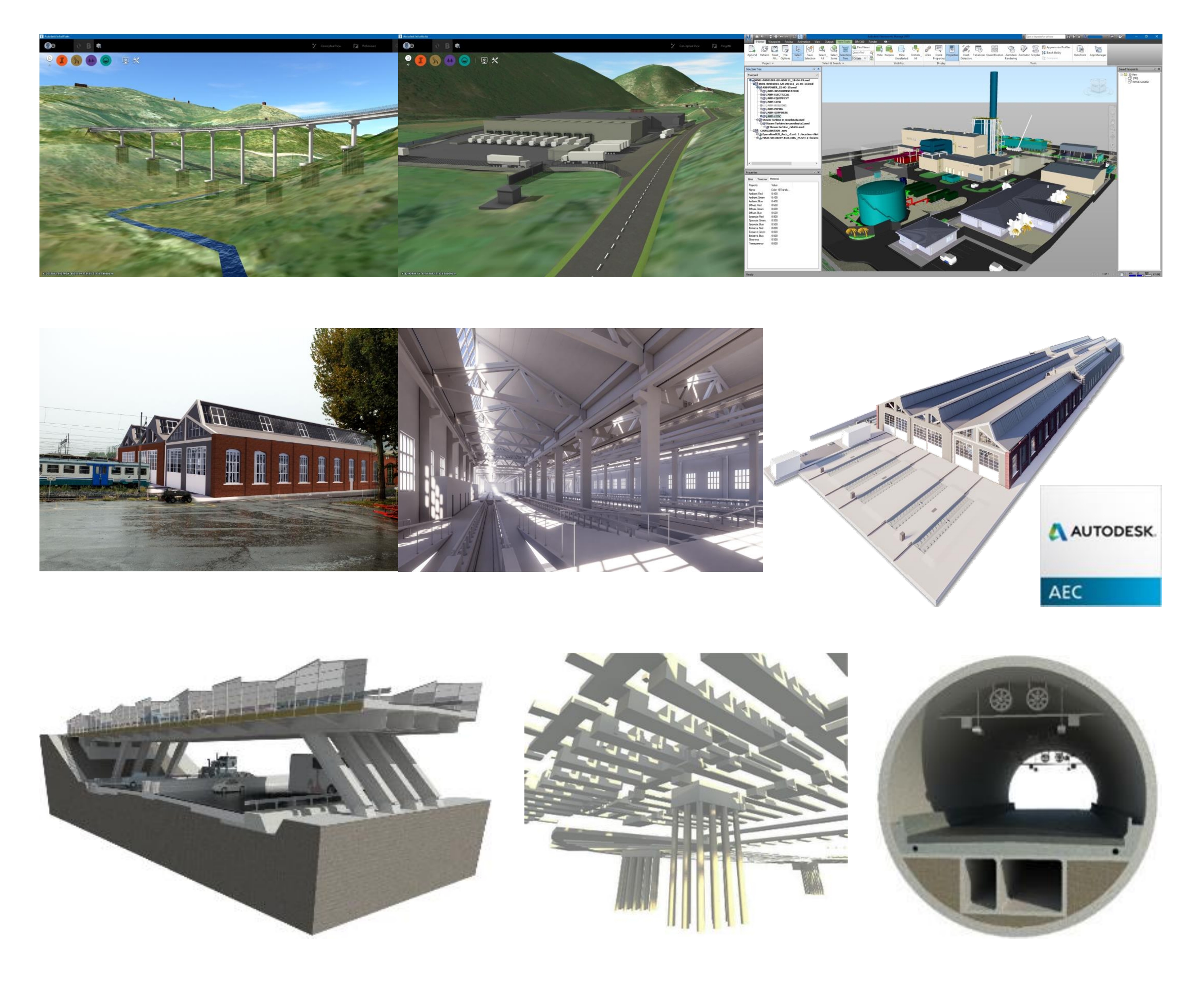
With BIM (Building Information Model) is possible to create a 3D intelligent model used to simplify coordination, simulation and visualization of the project, thus improving management and planning.
The advantages offered by this tool are the reduction of errors and omissions in the design documents, costs and time optimization leading to greater efficiency and productivity.
The development of a BIM Project allows to implement infrastructural , structural, environmental, hydraulic and topographic "models" able to grant a quick access to the information of each phase of the project and to adopt in a dynamic way the variations required by the Clients / Validating Authorities.
Autodesk collection AEC Ver. 2025 – Application package with integrated BIM and CAD workflows for design, engineering, and construction.
Building design, infrastructure design and Construction is done through specific and interoperable software, which make analysis, rendering, reality capture software and services, and other specialty software.
Top products are: Revit, Civil 3D, Infraworks, Navisworks Manage, 3ds Max, AutoCAD, Advance Steel, Autodesk Rendering, Dynamo Studio, Fabrication CADmep, Insight, ReCap Pro, Revit Live, Robot Structural Analysis Professional, Structural Bridge Design, Vehicle Tracking.
#Architecture #MEP #Structure #Infrastructure #FacilitySystem
Midas Software
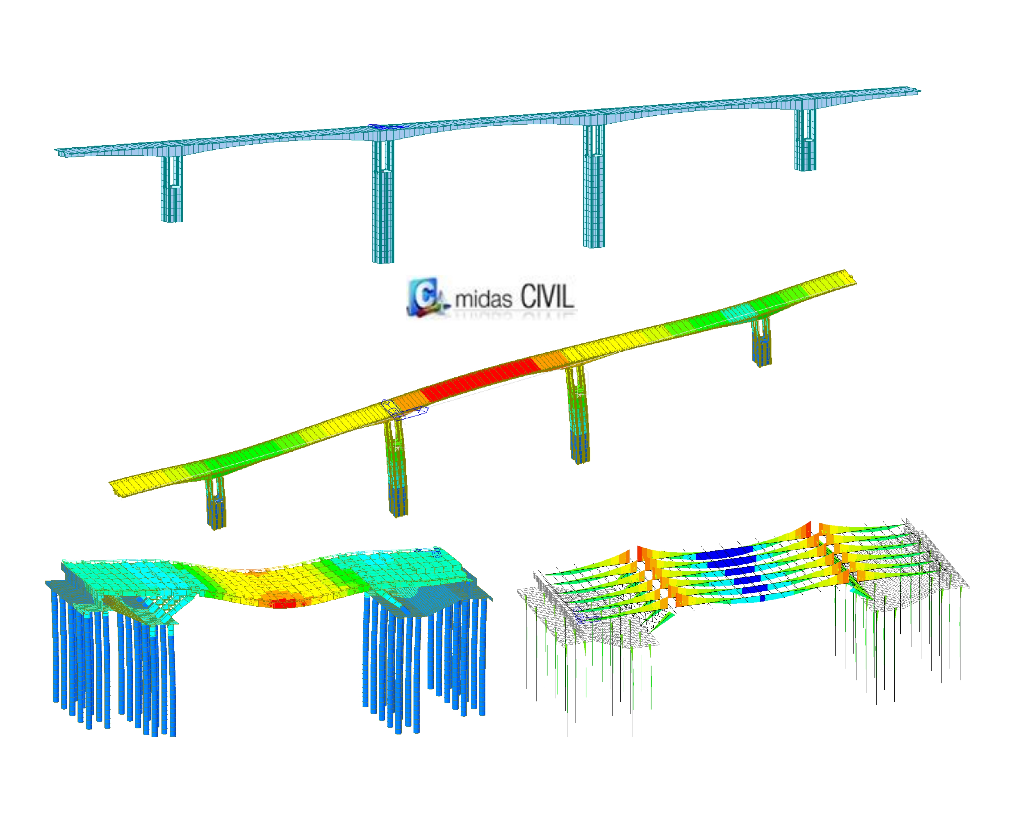
Civil Ver. 2024 – General purpose finite element analysis and design program.
Advanced bridge design and management of each type of constructive sequence for phases of finite elements, loads, constraints and characteristics of materials varying in time, compound sections, collapse of constraints, seismic accelerograms also applicable in a differentiated manner on the various Constraints.
FEA NX 2024 ( GTS NX 2024) – Linear and Non-linear Detailed Analysis Program
MIDAS FEA NX supports a range of specialized analyses, including nonlinear analysis, using innovative modeling techniques and practical analysis functions to be applied effectively in real-world scenarios.
MIDAS FEA NX is a tool for civil and structural engineering applications, such as bridge and building design. It supports 1D/2D/3D modeling, nonlinear analysis, geotechnical analysis, …
#Stucture #Infrastructure
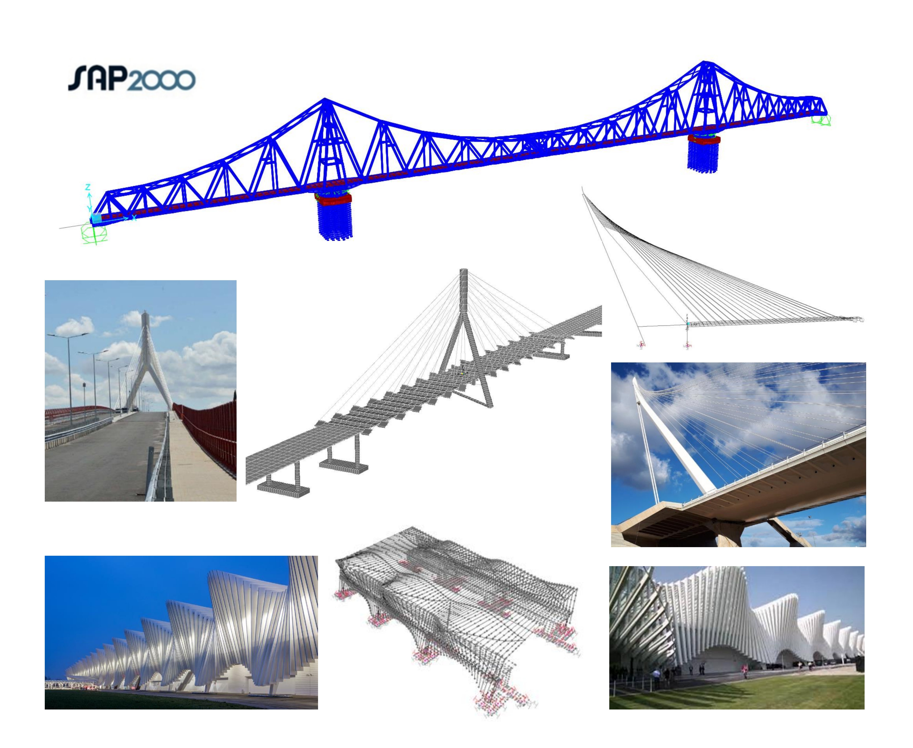
SAP2000 Ultimate V. 26 – General purpose finite element analysis program.
Advanced analytical techniques allow for step-by-step large deformation analysis, Eigen and Ritz Analysis based on stiffness of nonlinear cases, catenary cable analysis, material nonlinear analysis with fiber hinges, multi-layered nonlinear shell element, buckling analysis, progressive collapse analysis, energy methods for drift control, velocity-dependent dampers, base isolators, support plasticity and nonlinear segmental construction analysis. Nonlinear Analysis can be static and/or time history, with options for FNA nonlinear time history dynamic analysis and direct integration.
#Structure #Infrastructure
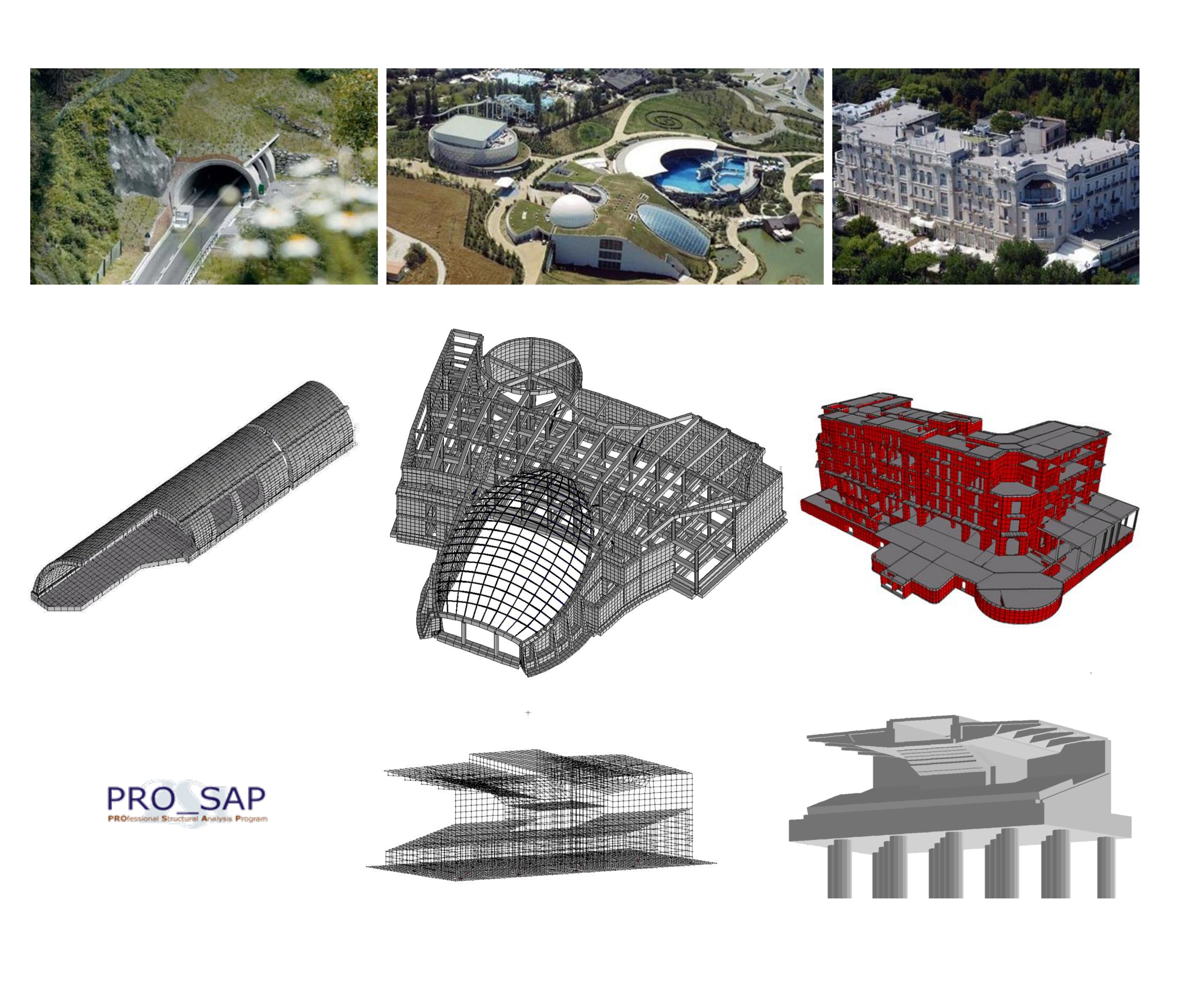
2SI Pro_SAP V.26 – General purpouse finite element analysis program.
Advanced design reinforced concrete, steel, masonry, reinforced masonry, timber, XLAM, semi-prefabricated beams, large lightly reinforced walls, FRP reinforcements for masonry and reinforced concrete structures, steel and concrete reinforcement for existing concrete structures. Checks existing buildings, insulators, soil-structure interaction, fire resistance. Applies Italian regulations, Eurocodes. Manages elasto-plastic elements, geometric non-linearity, equilibrium stability, construction phases, pushover analysis, dampers. Draws reinforced concrete, steel and timber structures. Generates calculation report, geotechnical report, maintenance plans. Details floors, stairs, roofs, elevator cores, masonry hoops.
#Structure#Infrastructure
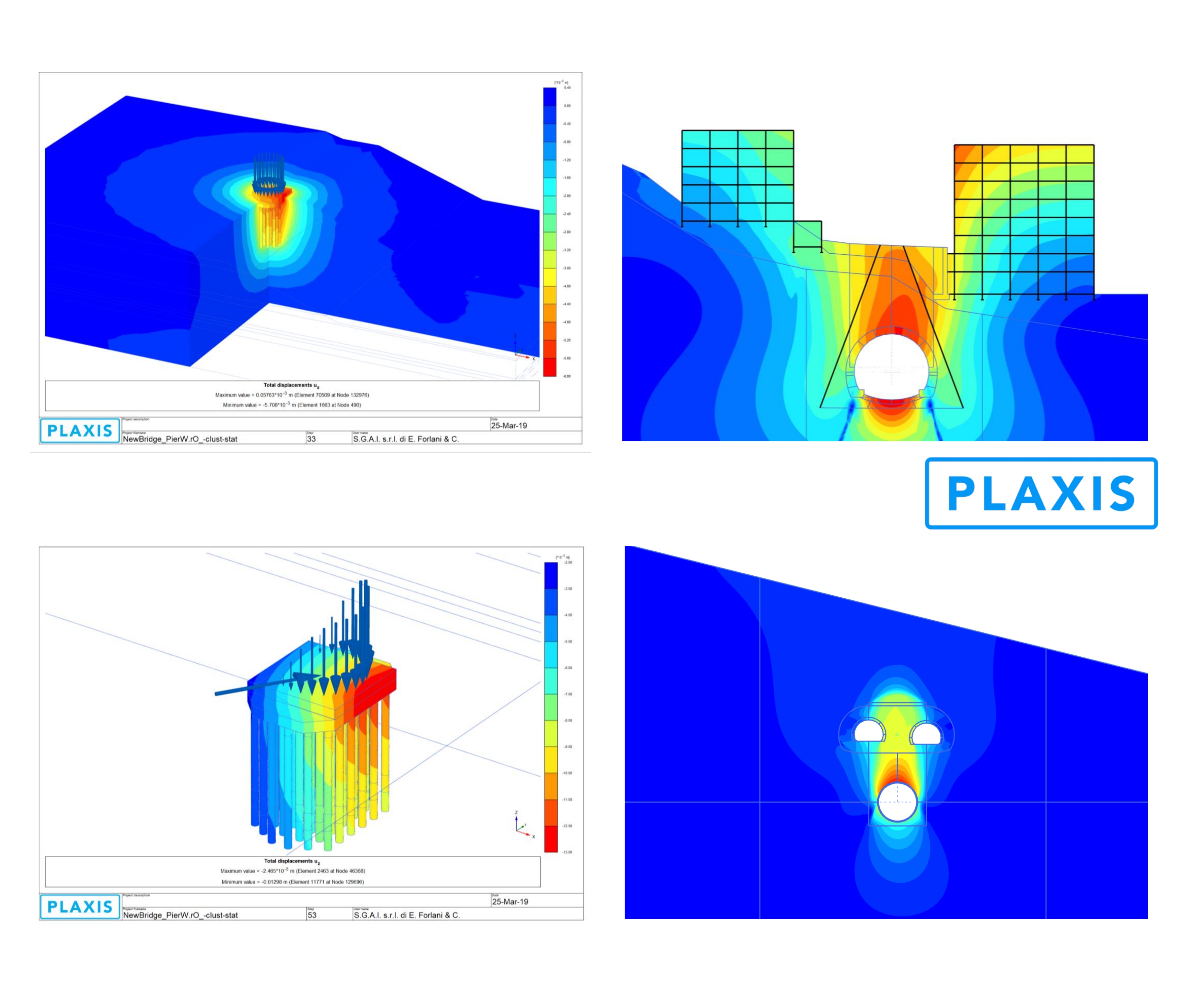
PLAXIS 2D/3D V. 24- Finite element analysis program for three-dimensional analysis of deformation and stability in geotechnical engineering and rock mechanics.
Applications range from excavations, embankments and foundations to tunnelling, mining and reservoir geomechanics.
#Geotechnical #Structure
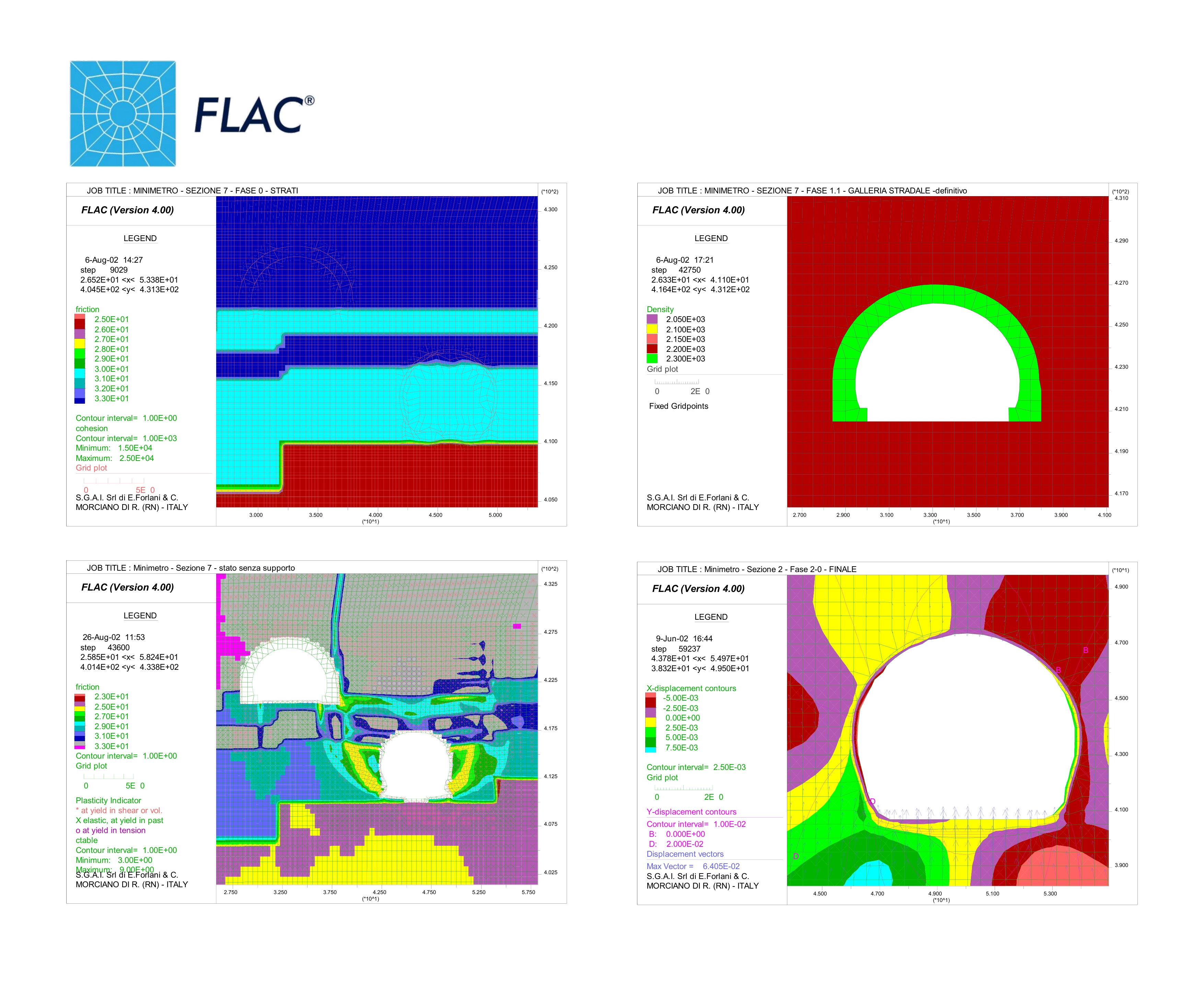
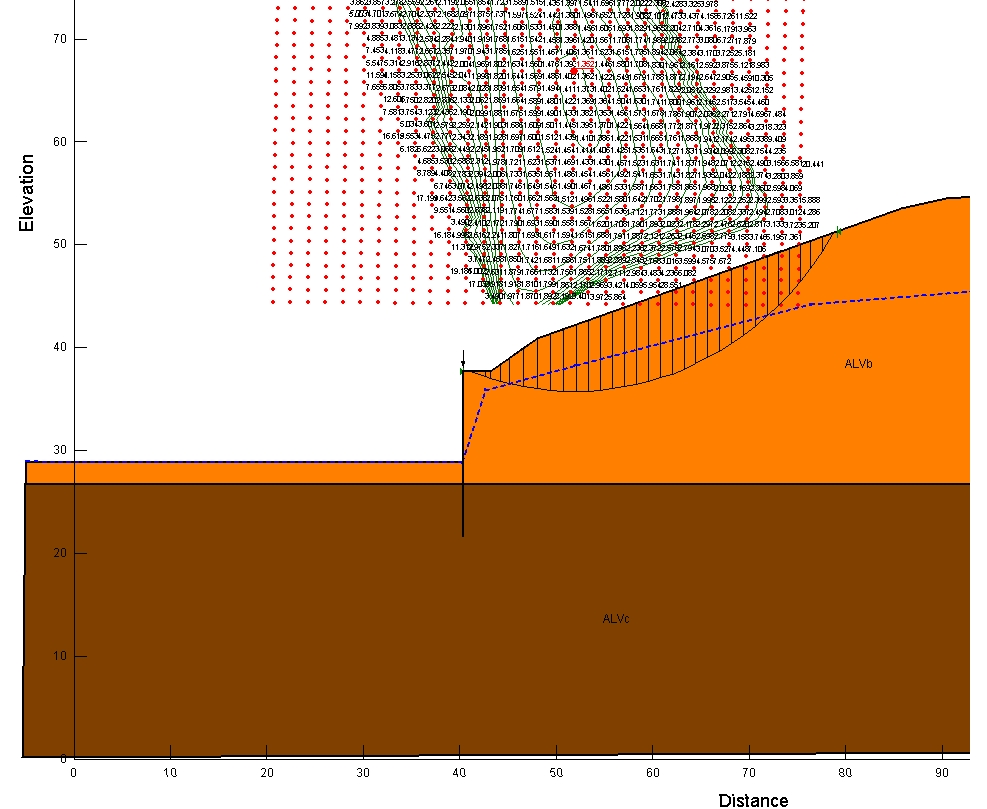
Itasca FLAC V. 8.10- Numerical modeling software for geotechnical Analysis of soil, rock, groundwater, constructs, and ground support.
Such Analysis include engineering design, factor of safety prediction, research and testing, and back-analysis of failure. Continuum analysis can be applied to engineering design of civil, mining, and geotechnical excavations (e.g., slopes, tunnels, caverns, stopes, etc.) and constructs (dams, foundations, footings, walls, etc.) in soil, intact rock, and rock masses (i.e., heavily jointed rock). Simulate discontinuities such as faults, joints, bedding planes, and engineered boundaries along constructs through the interfaces.
Geotechnical #Structure
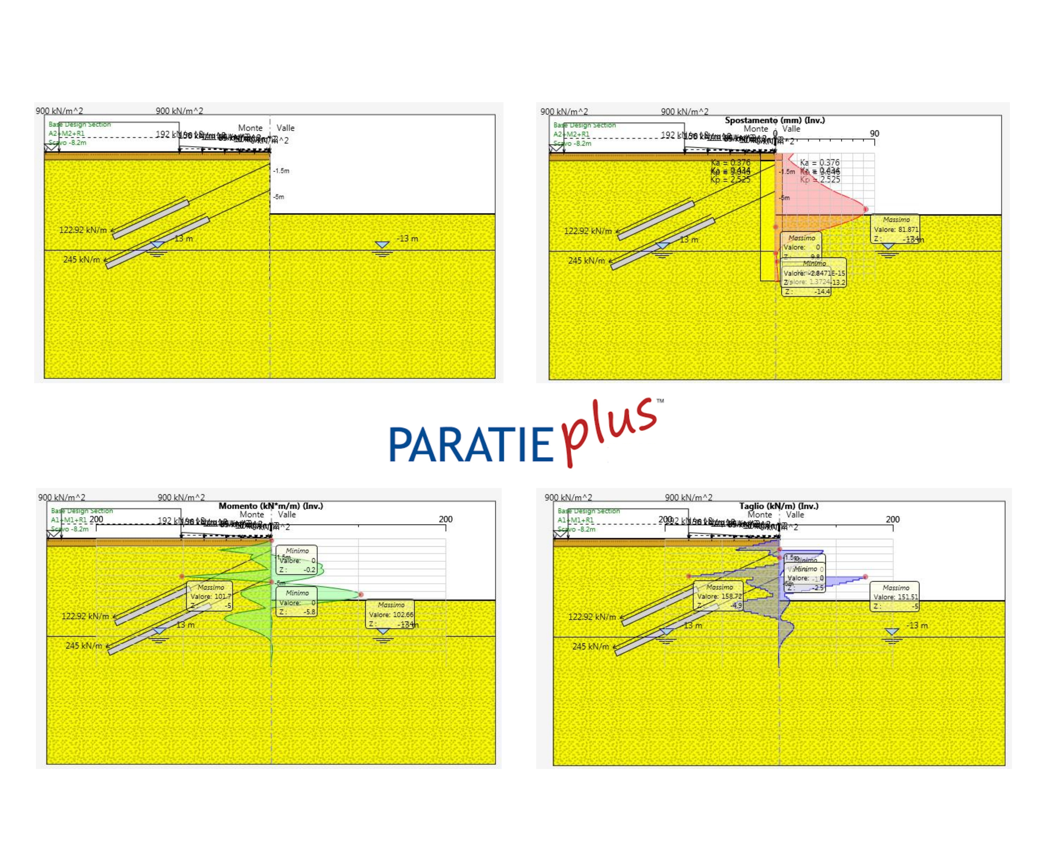
C.E.A.S. PARATIE Plus V. 24 – Analysis program for the design of opencut excavations and interactions between soils, walls and bulkheads.
The interaction model between soil and walls is based on the so called non linear spring approach: a simple yet accurate method which is suitable for most retaining wall problems. In addition to retaining wall analysis, Paratie Plus offers several additional calculation options for geotechnical engineers. It is possible to run a slope stability analyisis with Limit Equilibrium methods, a true 2D seepage analysis for either confined or unconfined problems, and a complete set of structural checks according to most popular Design Standards and Limit state approaches.
#Geotechnical #Structure
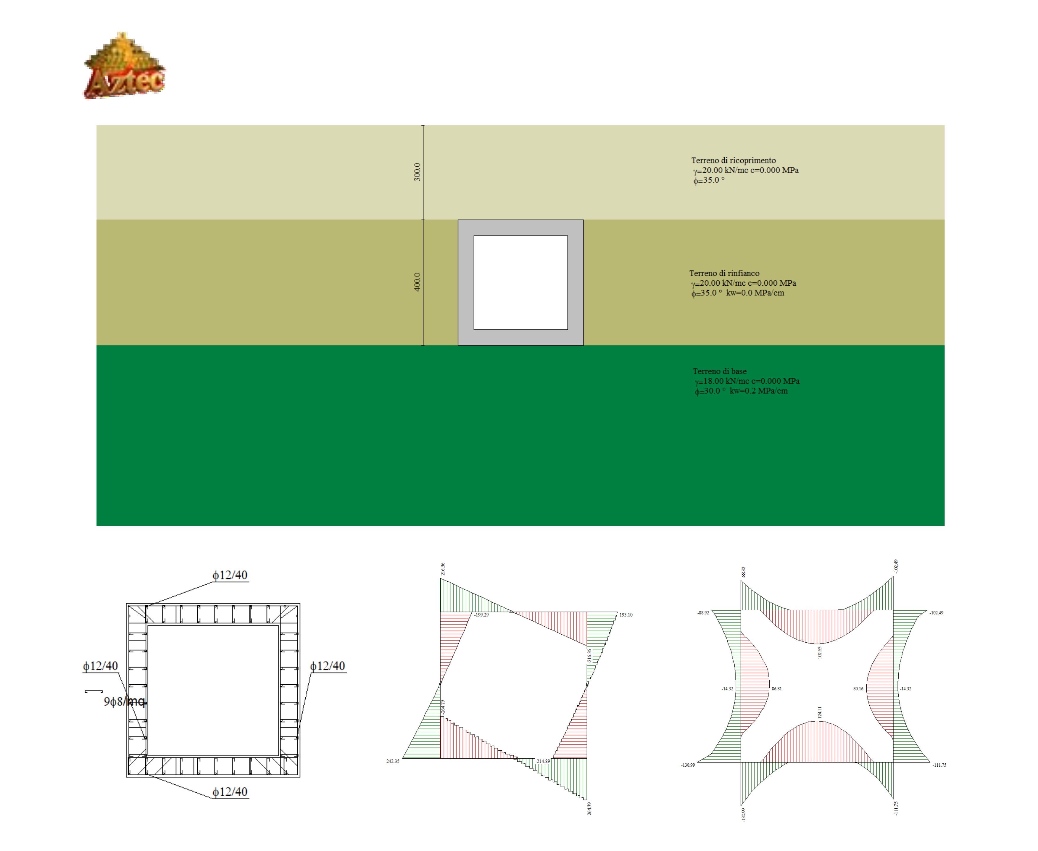
Aztec – Suite – Application package for Analysis, modeling and verify walls, bulkheads, reinforced soil structures, box culverts, slope stability, foundation bearing capacity and foundation settlements.
#Structure #Geotechnical
GeoStudio – Suite – Finite element analysis program for geotechnical Analysis of soils, slopes, rock, slope stability, foundation settlements and filtration analysis.
GeoStudio provides powerful visualization tools, including graphing, contour plots, isolines, animations, interactive data queries and data exports to spreadsheets for further analysis.
#Geotechnical
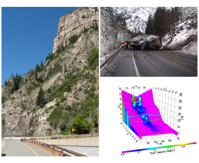
Colorado RockFall V. 4.0 – Analysis program for model rockfall behavior and provide a statistical analysis of probable rockfall events at any given site.
#Geotechnical
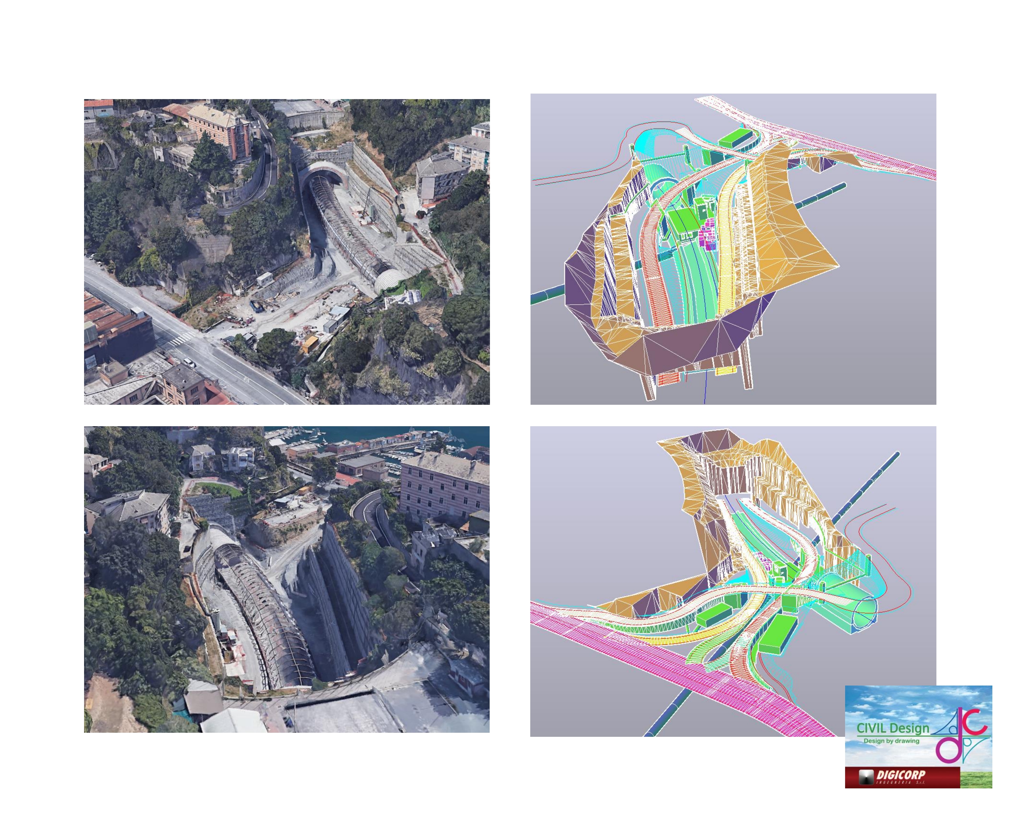
Digicorp CIVIL DESIGN Ver. 14 – Road and railway design application with integrated BIM workflow, to check road standards and to compute for each kind of roads, railways, roundabouts, multi-level junctions, channels, earthworks.
#Infrastructure
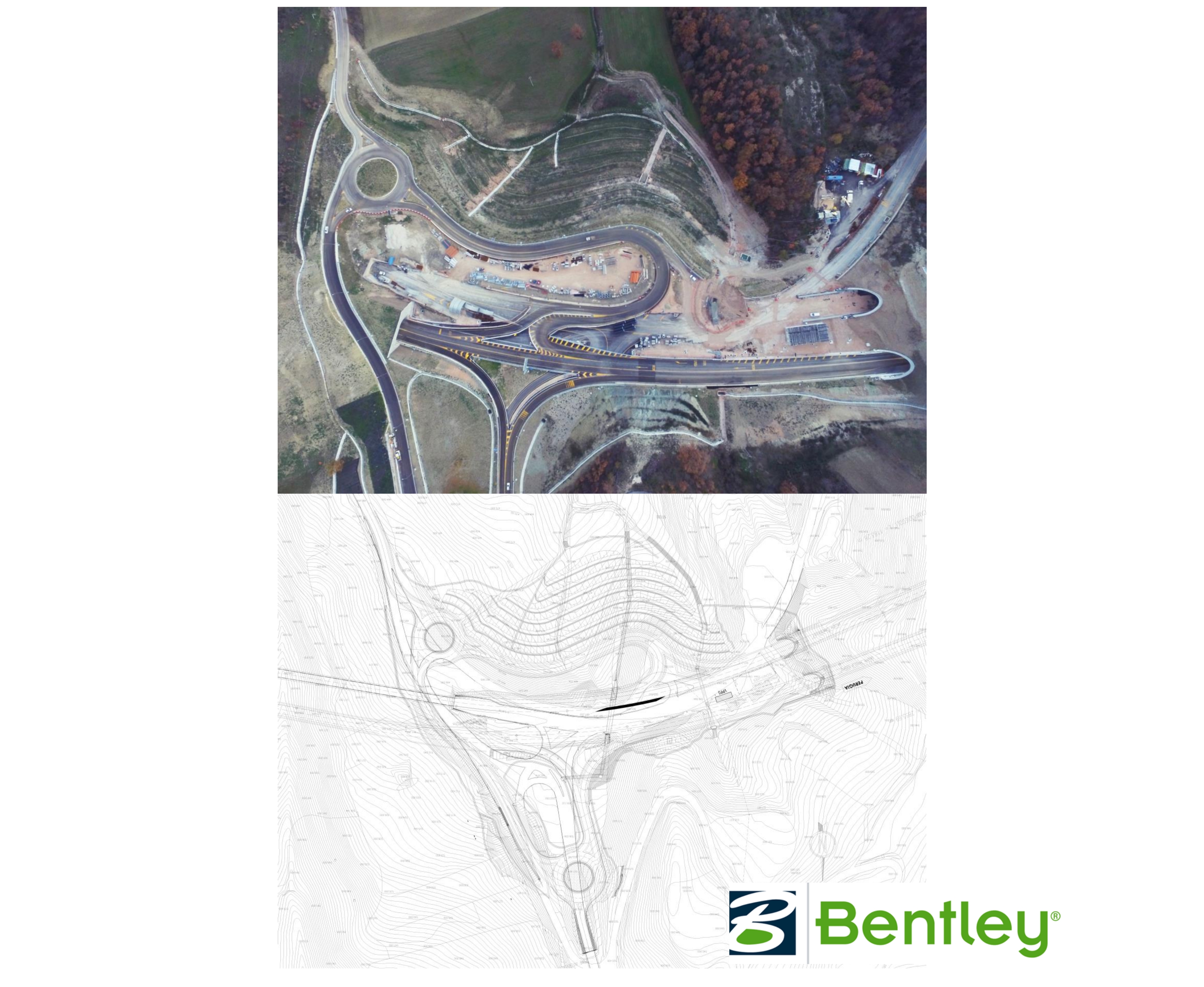
Bentley OpenRoad Designer CE – 2022 Release 3 Update 1 – Road design application, to check road standards and to compute for each kind of roads, roundabouts, multi-level junctions, earthworks.
#Infrastructure
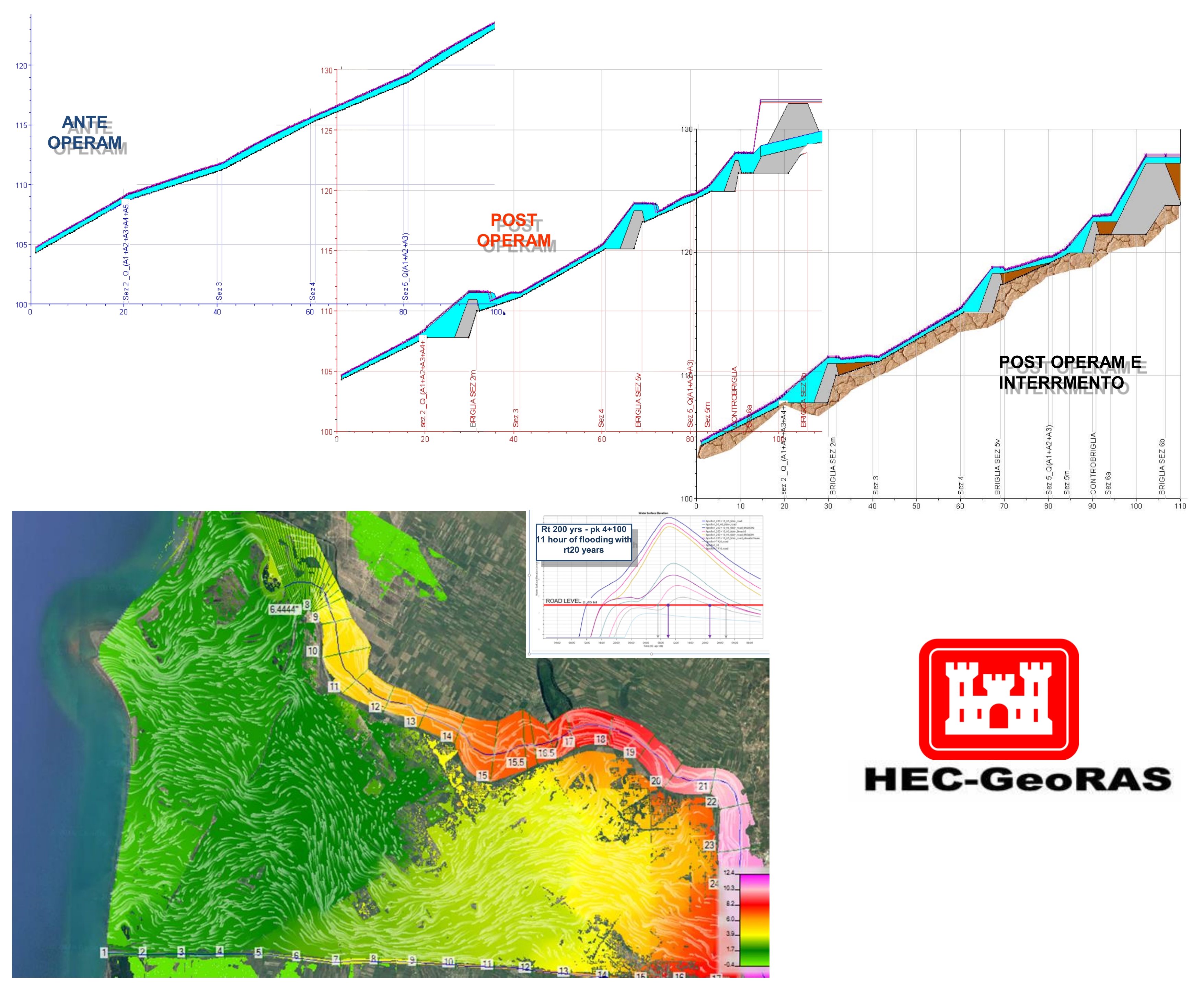
HEC-RAS V. 5.06 – Analysis and modeling program for perform one-dimensional steady flow, one and two-dimensional unsteady flow calculations, sediment transport/mobile bed computations, and water temperature/water quality modeling.
The HEC-RAS system contains several river analysis components for: steady flow water surface profile computations, one- and two-dimensional unsteady flow simulation, movable boundary sediment transport computations and water quality analysis. In addition to these river analysis components, the system contains several hydraulic design features that can be invoked once the basic water surface profiles are computed.
#Hydraulics #Hydrology
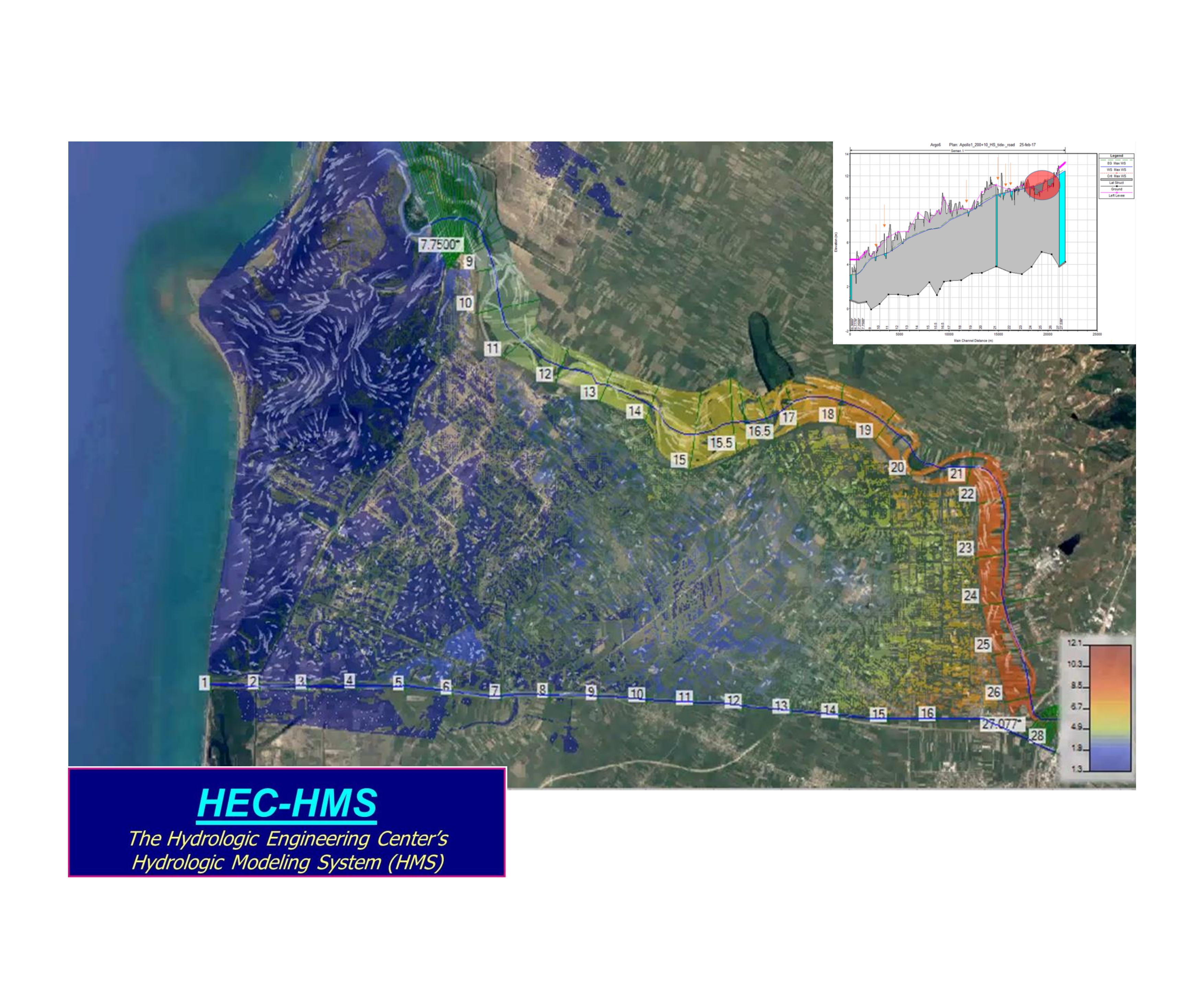
HEC-HMS V. 4.3 – Hydrologic Modeling System (HEC-HMS) simulate the complete hydrologic processes of dendritic watershed systems.
The software includes many traditional hydrologic analysis procedures such as event infiltration, unit hydrographs, and hydrologic routing.
HEC-HMS also includes procedures necessary for continuous simulation including evapo-transpiration, snowmelt, and soil moisture accounting. Advanced capabilities are also provided for gridded runoff simulation using the linear quasi-distributed runoff transform. Supplemental analysis tools are provided for model optimization, forecasting streamflow, depth-area reduction, assessing model uncertainty, erosion and sediment transport, and water quality.
#Hydraulics #Hydrology
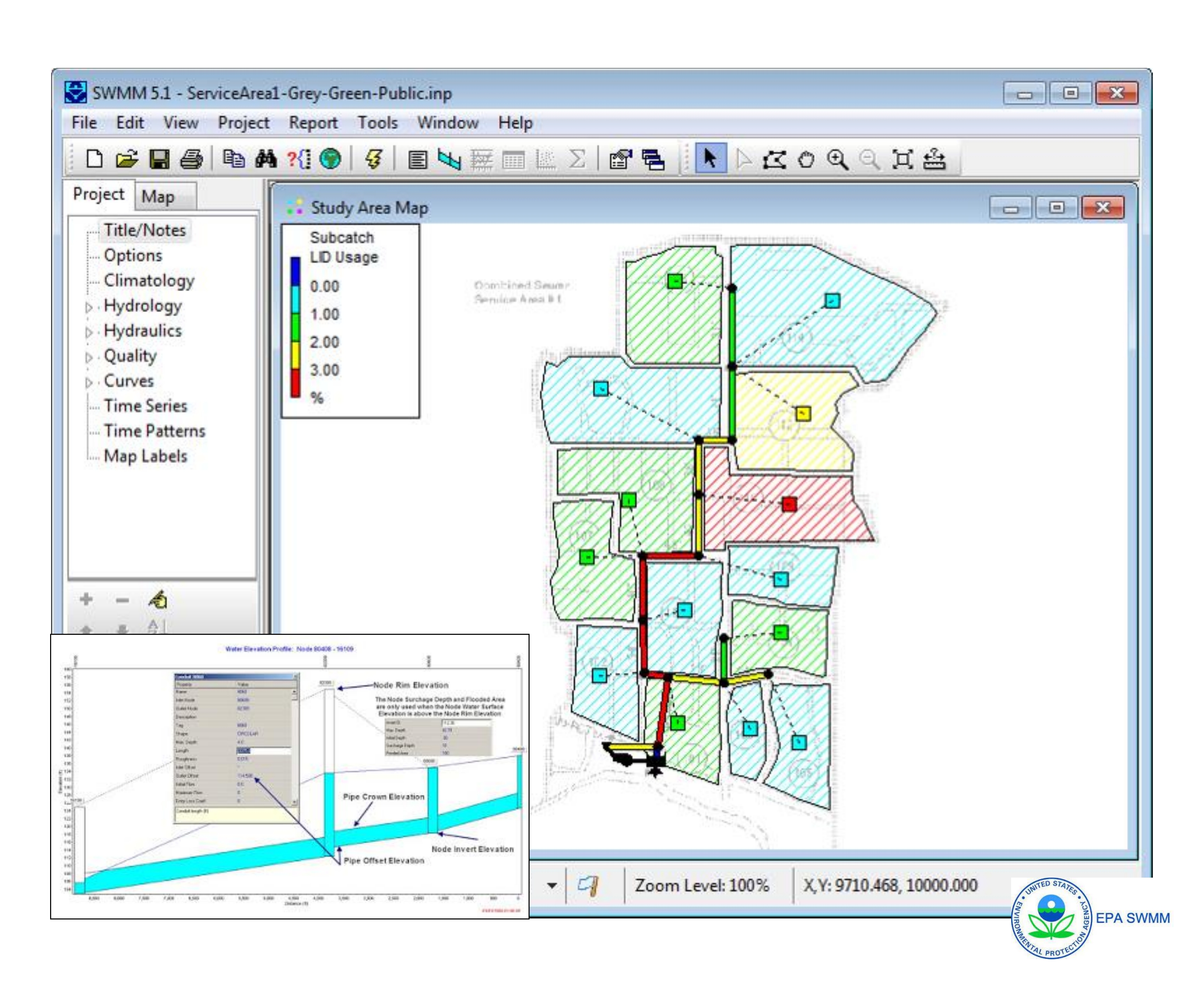
EPA-SWMM V. 5.1.0.13 – Dynamic Rainfall-runoff Simulation of Single Events or Long-term Simulations.
EPA Storm Water Management Model (SWMM) is a dynamic rainfall-runoff simulation model used for single event or long-term (continuous) simulation of runoff quantity and quality from primarily urban areas. The model includes tools for hydrology, stormwater, sanitary sewer and hydraulic modeling. The runoff component of SWMM operates on a collection of subcatchment areas that receive precipitation and generate runoff and pollutant loads. The routing portion of SWMM transports this runoff through a system of pipes, channels, storage/treatment devices, pumps, and regulators. SWMM tracks the quantity and quality of runoff generated within each subcatchment, and the flow rate, flow depth, and quality of water in each pipe and channel during a simulation period comprised of multiple time steps.
#Hydraulics #Hydrology
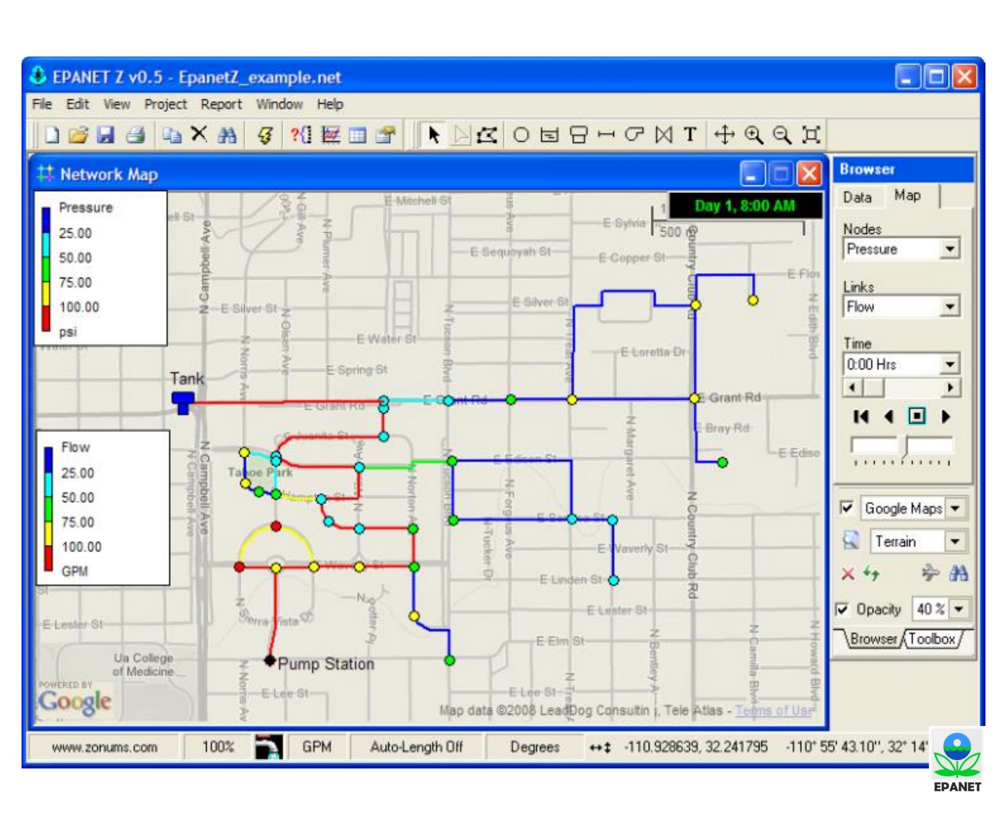
EPA-NET V. 2.00.12 – Pressurized pipe modelling software and hydraulic analysis package for water supply networks.
EPA-NET is used to simulate water distribution networks, basic hydraulic calculations (pressure, flow, etc.), ability to model some water quality parameters and basic energy modelling capabilities.
#Hydraulics #Hydrology
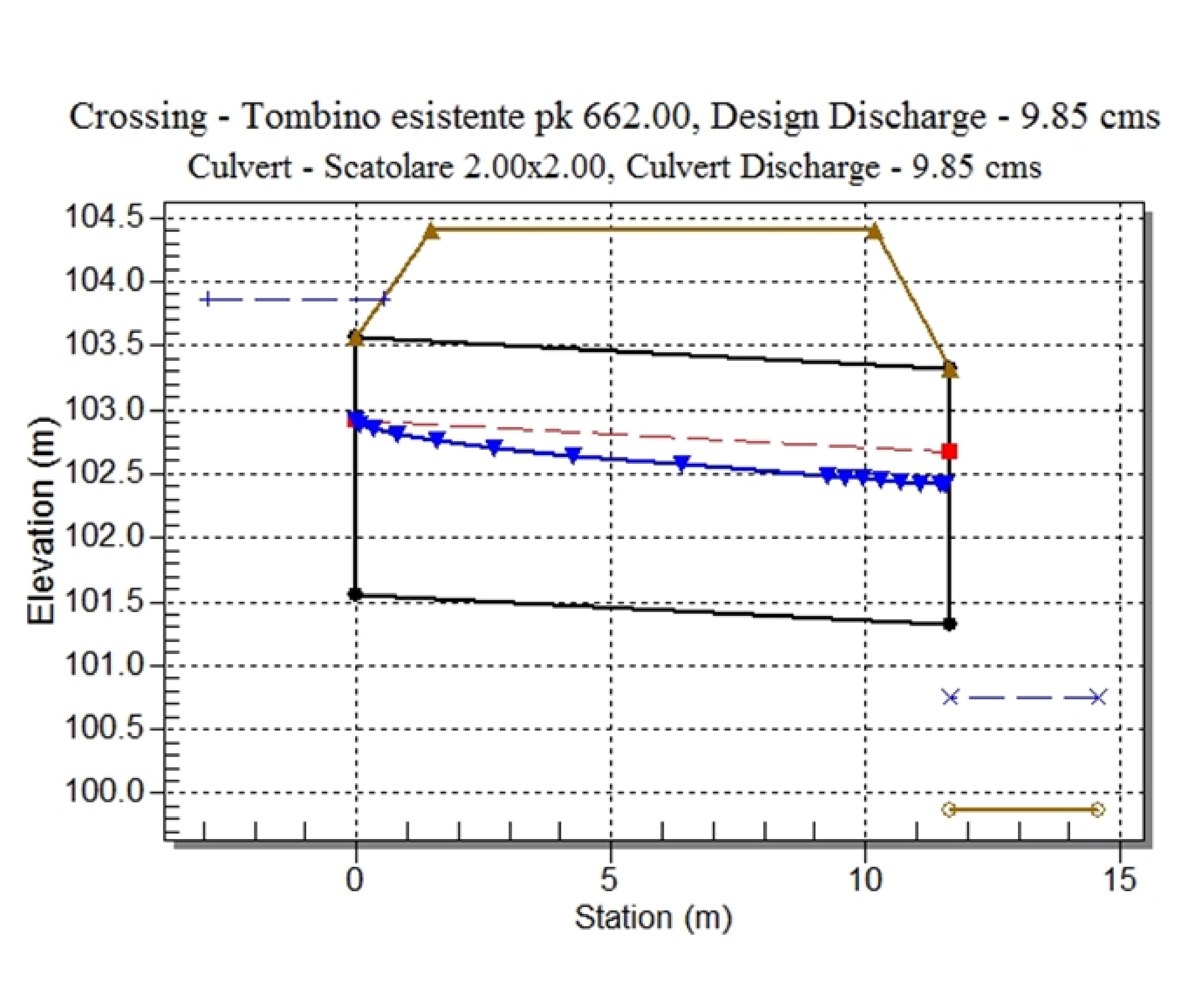
HY8 V. 7.50 – Culvert Hydraulic Analisys ProgramSupport for the design and verification of the intersections of minor waterways with road infrastructures such as roads and railways.
HY8 allows to define: dimension, shape and number of culverts necessary to drain a project scope; discharge capacity of an existing artifact by imposing the permissible water level of the upstream; water profile and flow quantity in the different flow conditions and risk level of the structure.
#Hydraulics #Hydrology
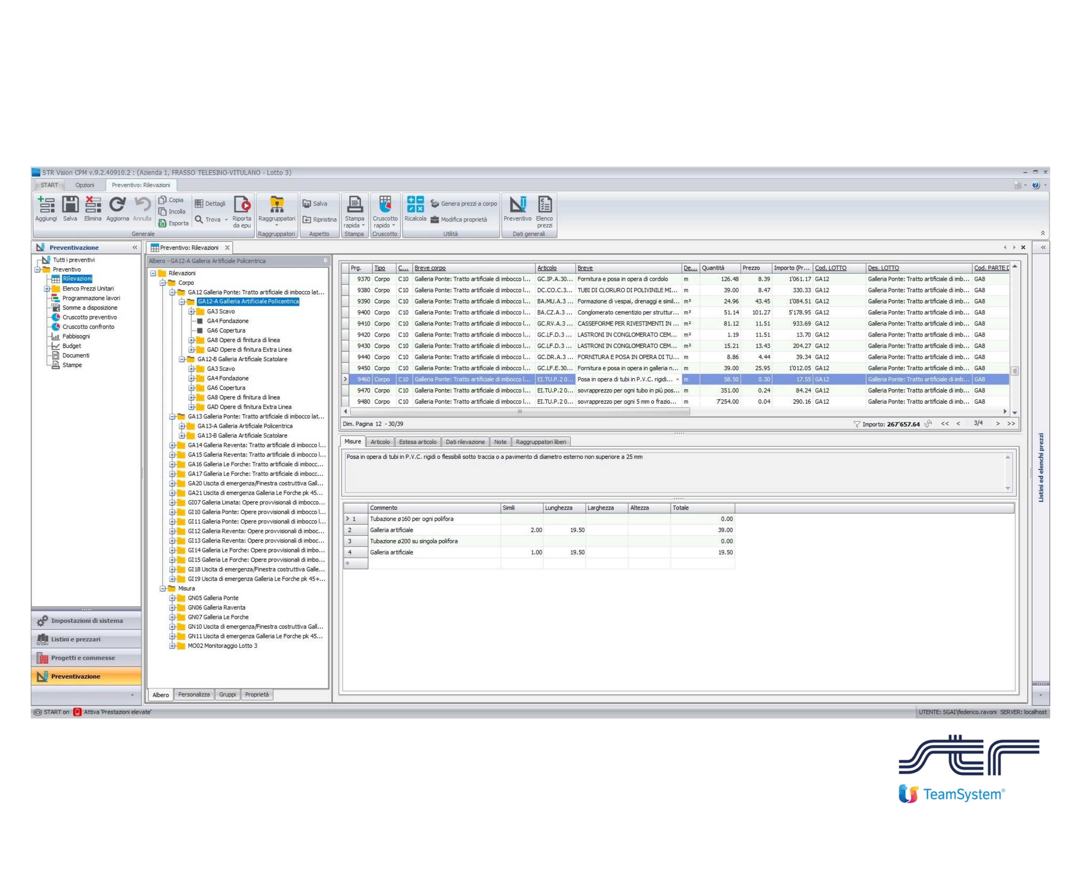
STR Vision CPM (Construction Project Management) – Application program for manage price lists, compare bids, generate quotes and budget automatically, plan works on Gantt, virtually simulate your project, analyze costs and revenues.
#Economic #BoQ
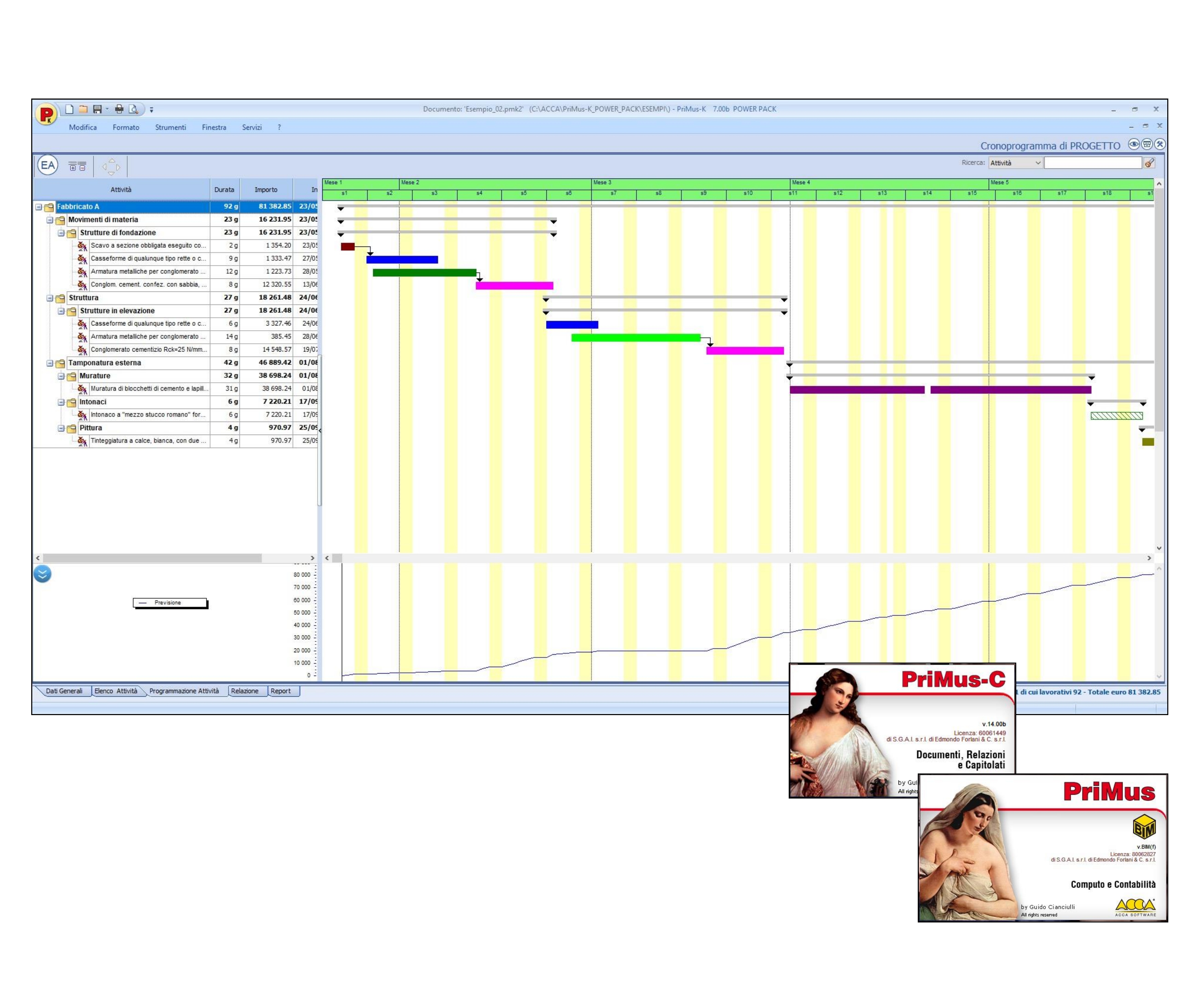
PriMus and PriMus C – Application package for bill of quantity, accounting of Public Works and works management.
PriMus produces all schedule documents for private jobs: price List; price list for body and size; metric calculation; estimate of work; offer request; comparative framework; economic framework; estimate labour incidence; estimate impact of safety; technical disciplinary and Project Forms.
#Economic #BoQ
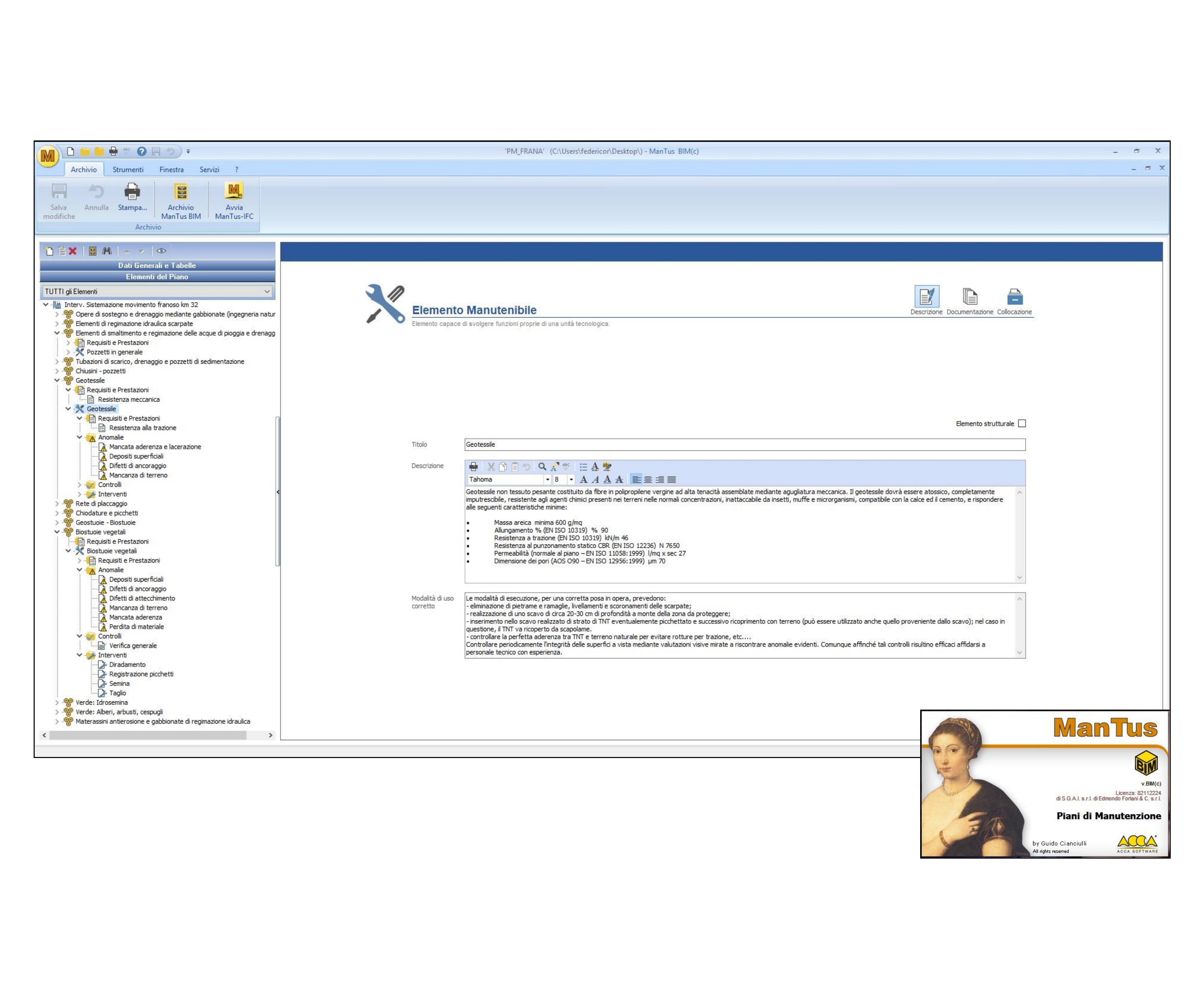
ManTus BIM – Application package for maintenance plan.
Draw up the maintenance plan of the work on the basis of the actual executive design works, also starting from BIM models in IFC format; predict, plan and schedule maintenance activities to ensure over time the functionality, quality characteristics, efficiency and economic value of the building; punctually identify the performance requirements and controls provided by the CAM (minimum environmental criteria-ministerial decree of 11 October 2017).
#Economic #Maintenance
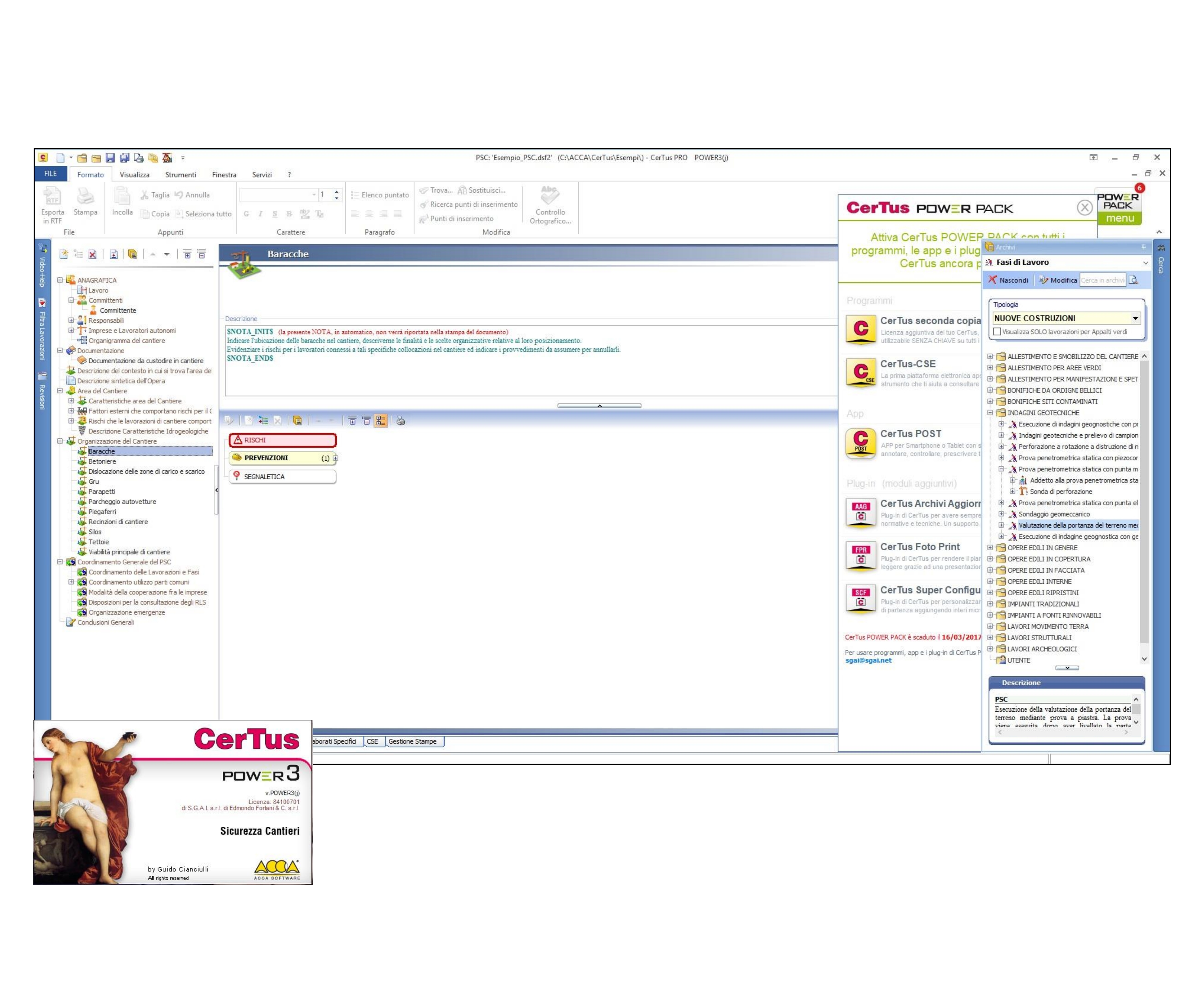
CerTus Pro BIM and CerTus CSE – Application package for safety audits of construction sites with integrated BIM workflows.
CerTus allows to define: 3D/4D analysis and modelling of safety in construction sites; integrating security with your project using the IFC standard; contextualisation of the security plans; document management, supervision and control in the executive phase.
#Safety
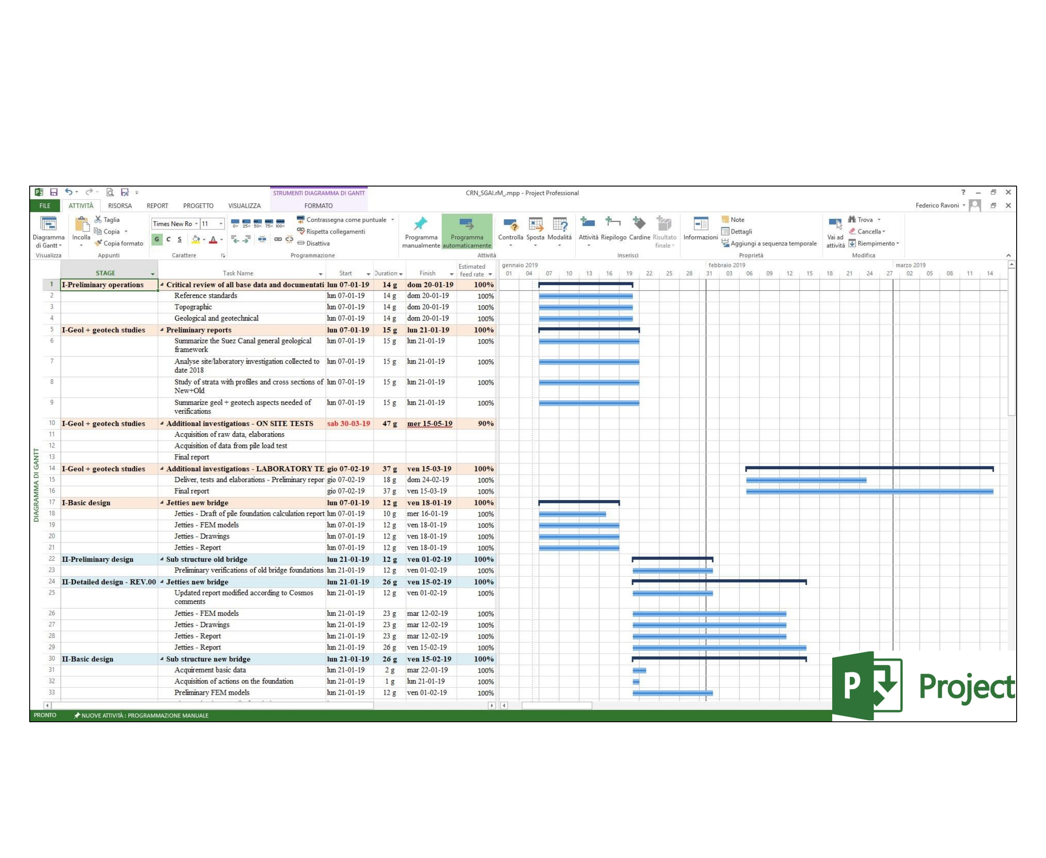
Microsoft Project
Microsoft Project is a project management software product, developed and sold by Microsoft. It is designed to assist a project manager in developing a schedule, assigning resources to tasks, tracking progress, managing the budget, and analyzing workloads.
#ProjectManagement
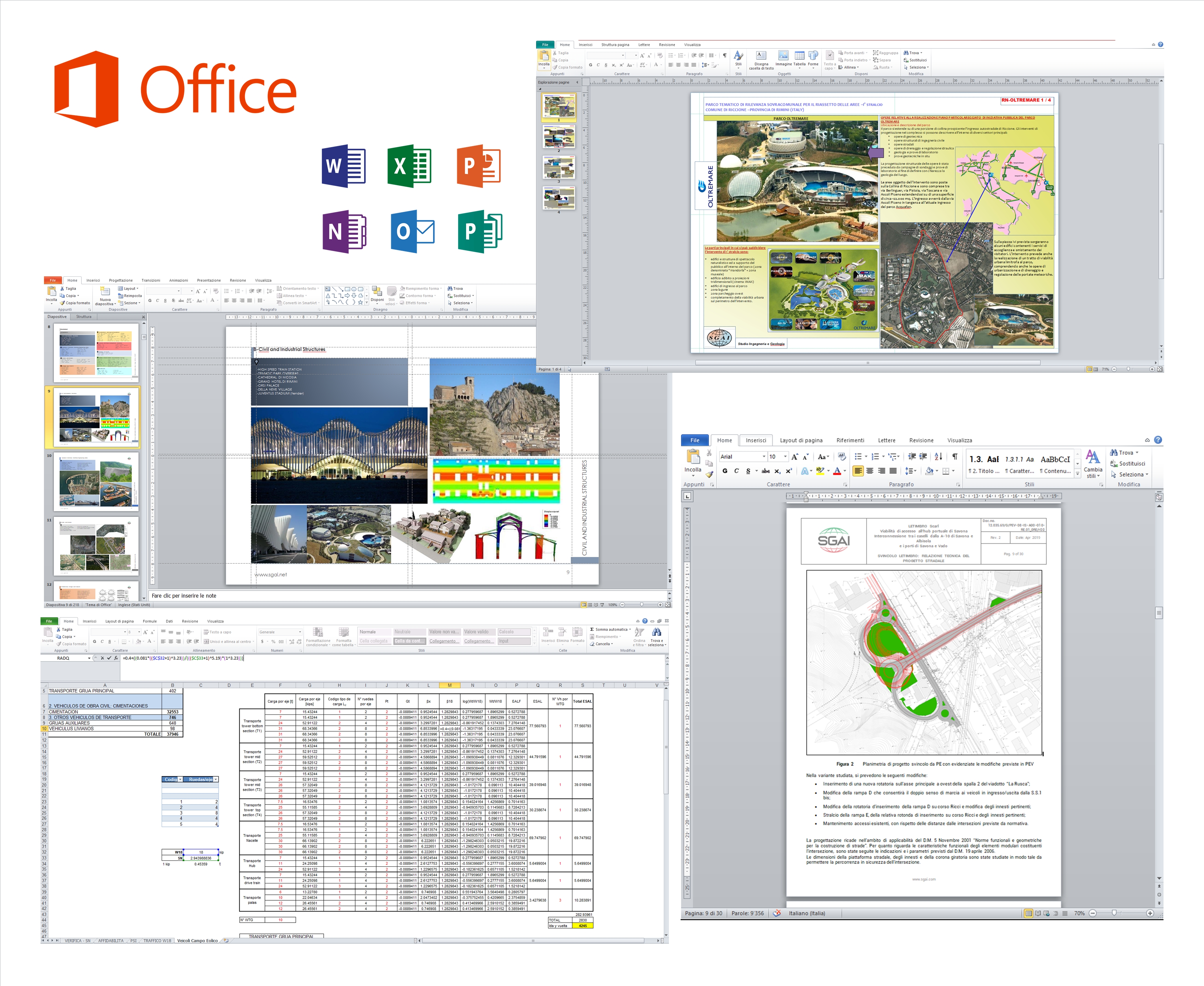
Microsoft Office Suite of desktop productivity applications that is designed specifically to be used for office or business use.
The different applications allow to creating creating text documents, complex data/numerical spreadsheets, database management, professional multimedia presentations, publishing marketing material, organize works and so on.
#Productivity
ZWCAD 2025 – Application program with integrated CAD workflows for design and drafting.
This tool allow to creating, editing, validating, sharing, and managing CAD models, and uses the industry-standard DWG (*.dwg) as file format natively. Drawings created or edited in ZWCAD can be used by almost any other CAD system, without conversion or data loss.
#Architectural #Structural
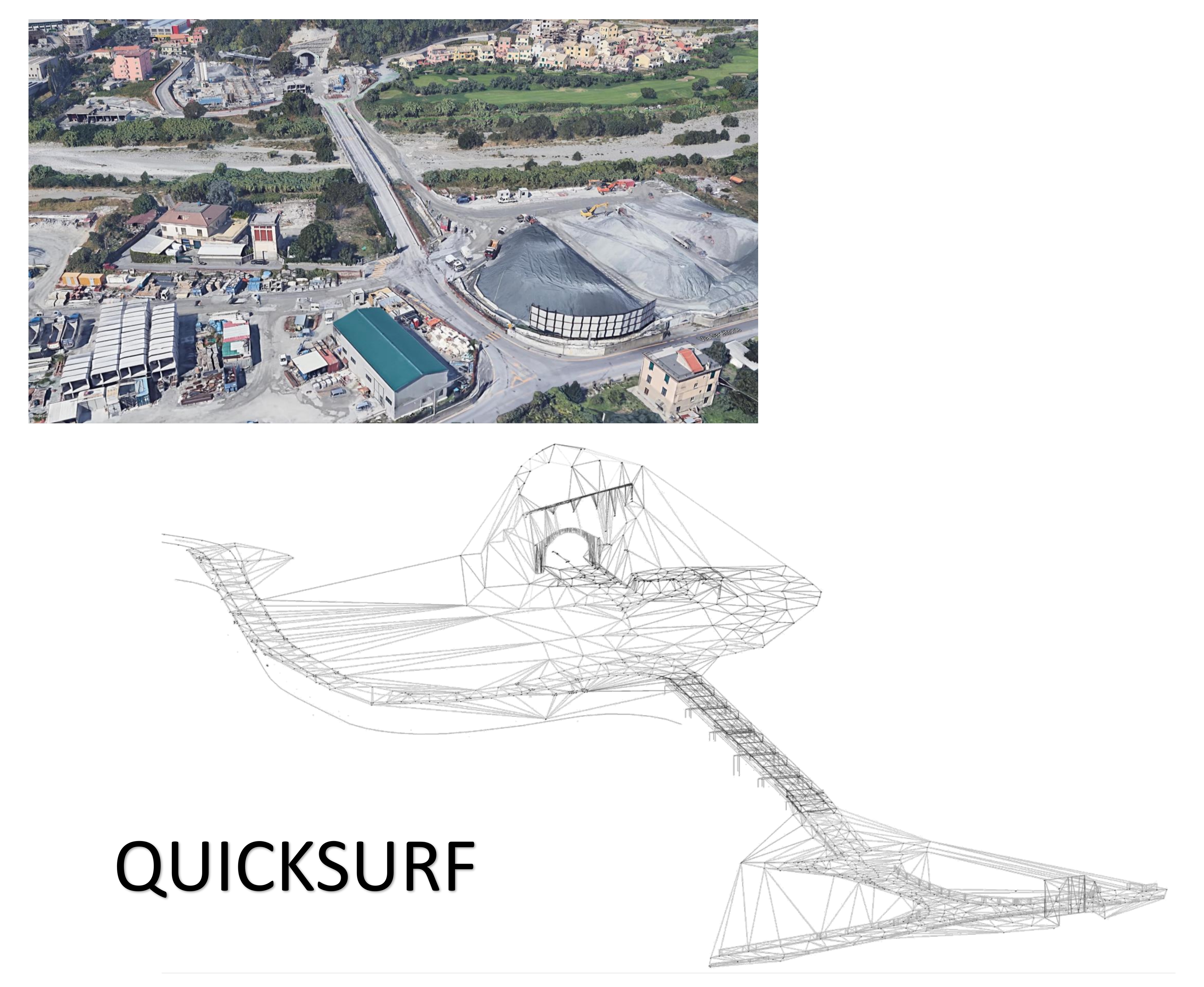
Quicksurf V. 2013/2014 – Application program with integrated CAD workflows for design earthworks and slope modeling.
QuickSurf is a fast, powerful general purpose surface running model inside of AutoCAD 2000 – 2014. The QuickSurf is used for generation and annotation of contour maps, profiles, sections and volumetric computation. QuickSurf converts surface mapping data such as point or break line data into contours, grids, triangulated irregular networks (TIN), and triangulated grids.
#Architectural #Infrastructure
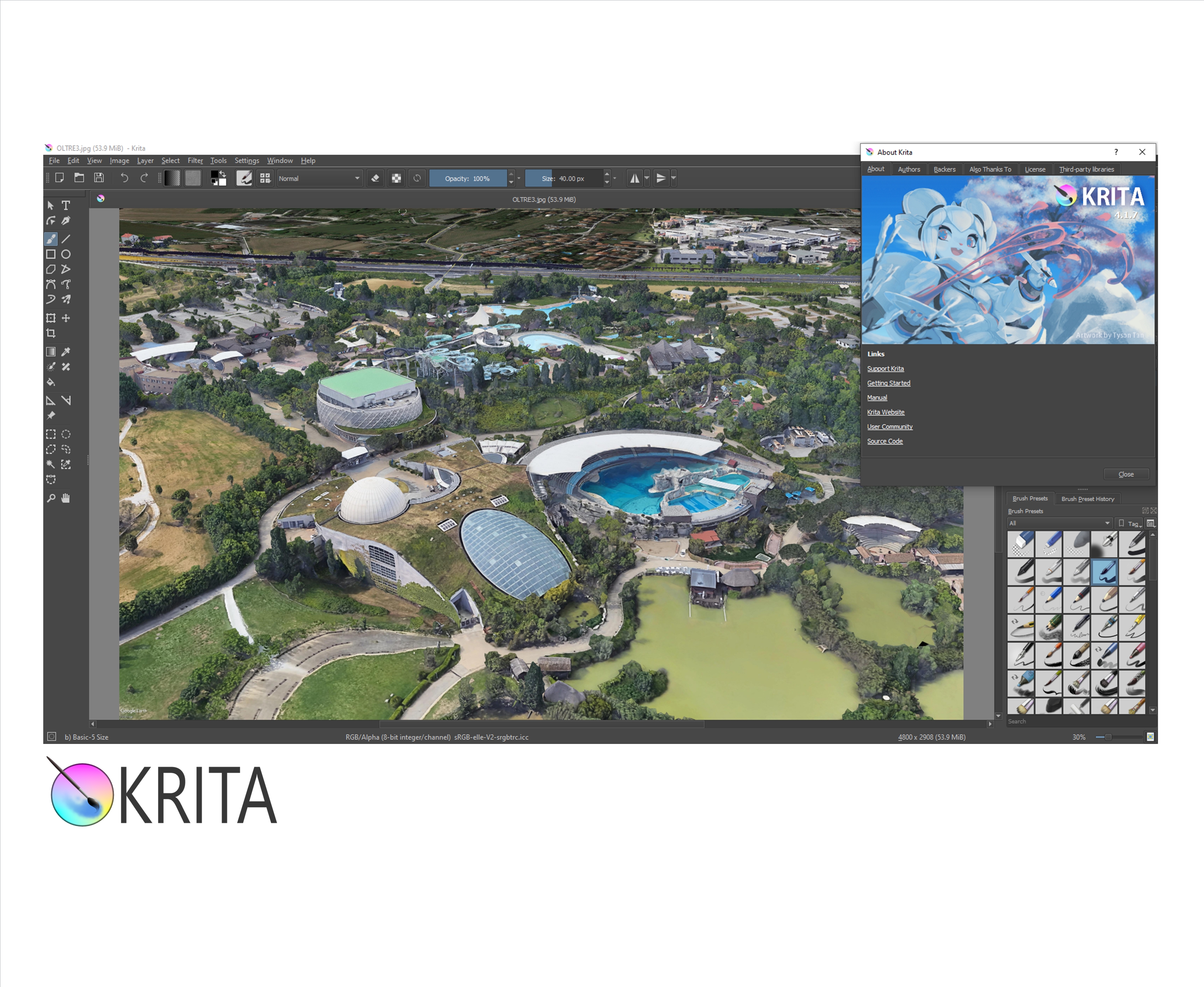
Krita – Cross-platform application that offers an end-to-end solution for creating digital art files from scratch.
This software is optimized for frequent, prolonged and focused use. Explicitly supported fields of painting are illustrations, concept art, matte painting, textures and animations. Krita supports open standards and interoperates with other applications.
#Architectural #Drafting #Animation
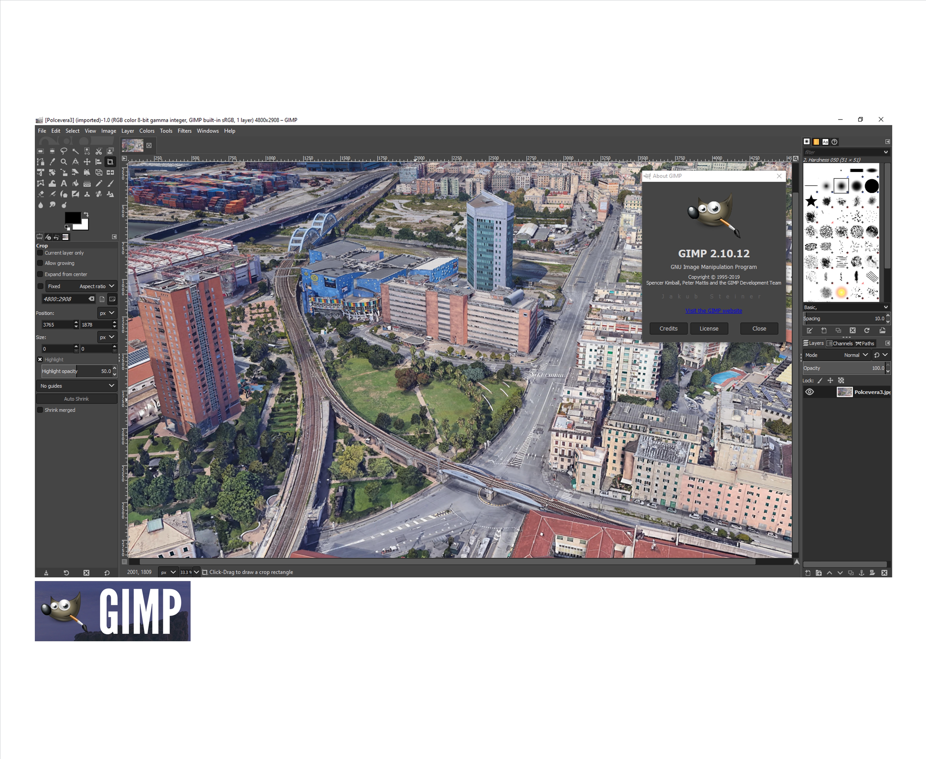
Gimp – Cross-platform image editor that offers a lot of tasks as photo retouching, image composition and image authoring.
This software allow to creating painting, illustrations, concept art, matte painting, textures and animations. Gimp supports open standards and interoperates with other applications.
#Architectural #Drafting #Animation
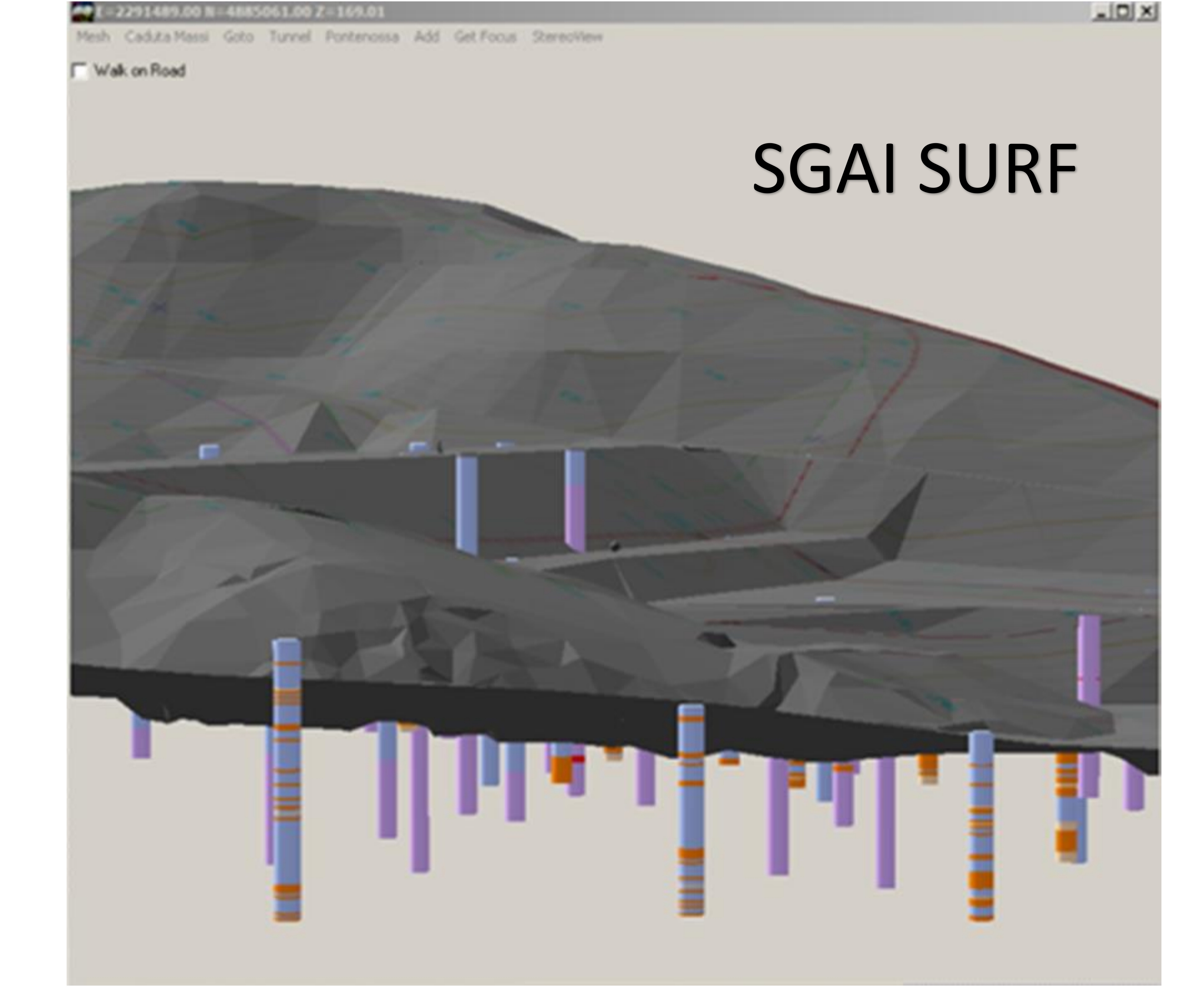
SGAISURF – Application program, powered by SGAI, integrated in CAD workflow for earhworks and slope modeling.
3D surface modeling, GIS, with several plug-ins (falling rocks, stratigraphy management etc.)
With SGAISurf program you can:
- Get points from Autocad entities;
- Generate a surface (you can use text for Z coordinate);
- Trace contours, in color too, directly in AutoCAD;
- Make section with indicated progressives, heights and partials lengths;
- View it in 3D (with OpenGL);
- Sum, Subtract, Multiply surfaces created.
#Architectural #Infrastructure
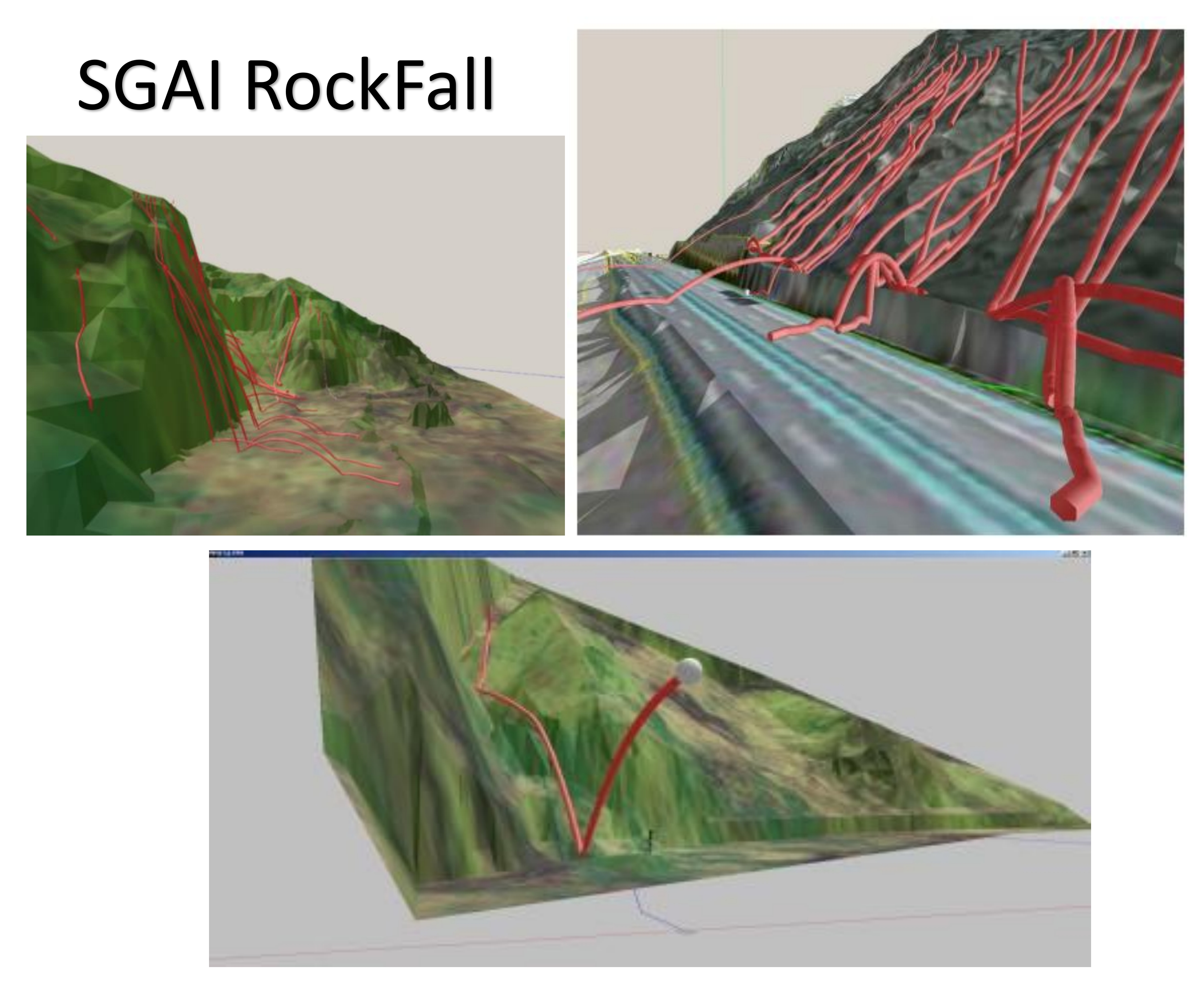
SGAI RockFall – Application program for tridimensional analysis of rockfall events.
#Geotechnical
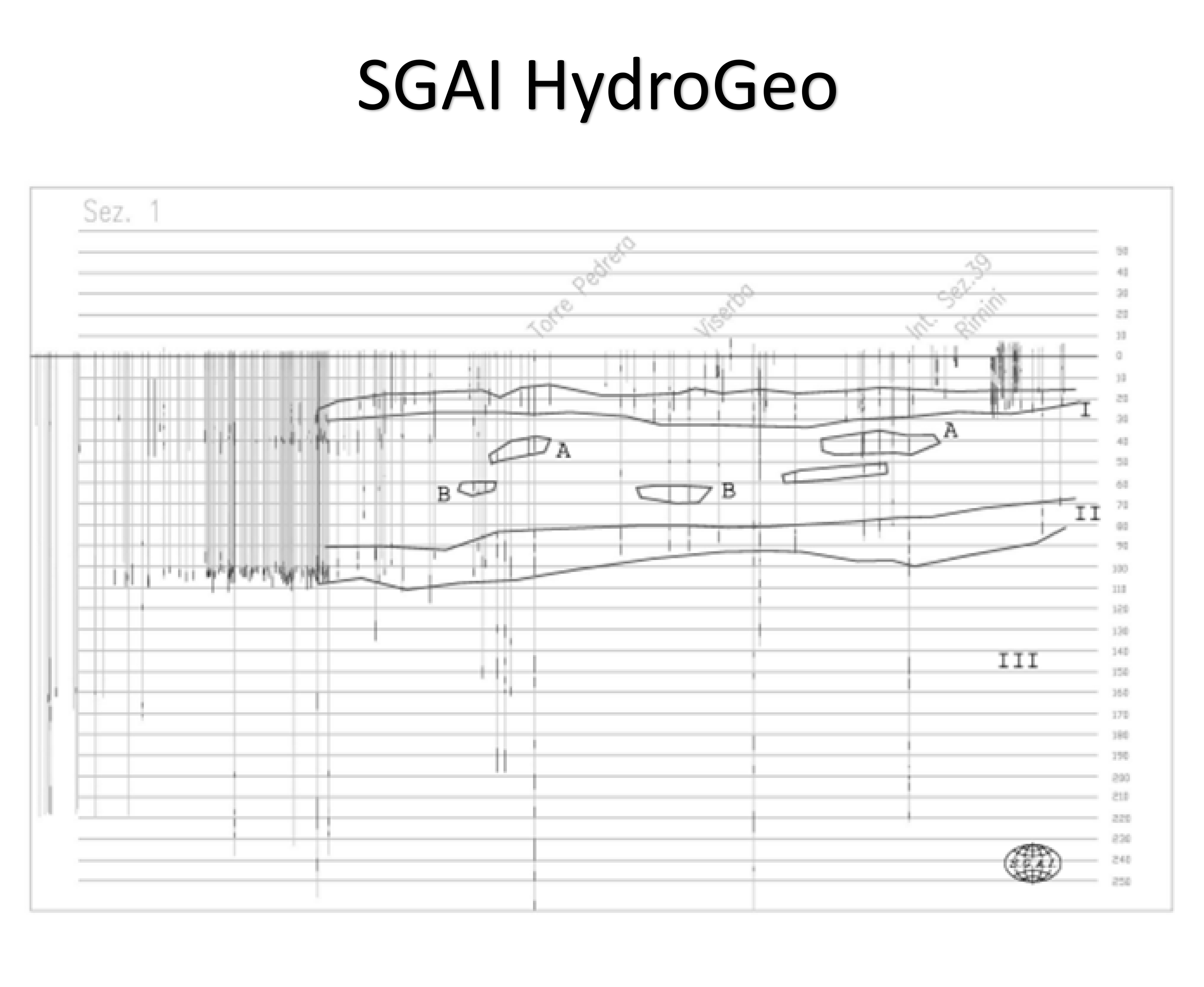
SGAI HydroGeo – Application program for analysis, management and stratigraphic interpretation.
With SGAIHydroGeologist proram you can:
- Manage thousands of stratigraphies of wells,
- Make stratigraphic sections, setting ranges
- Makes interpretations of well’s stratigraphy that began automatic;
- Subdivide in acquifers and view iso-concentrations of any elements for a filtered acquifer (in conjunction with SGAISurf);
- Regionalize transmissibility;
- Storage coefficient;
- Calculate the spessor of an acquifer.
#Geotechnical #Geological
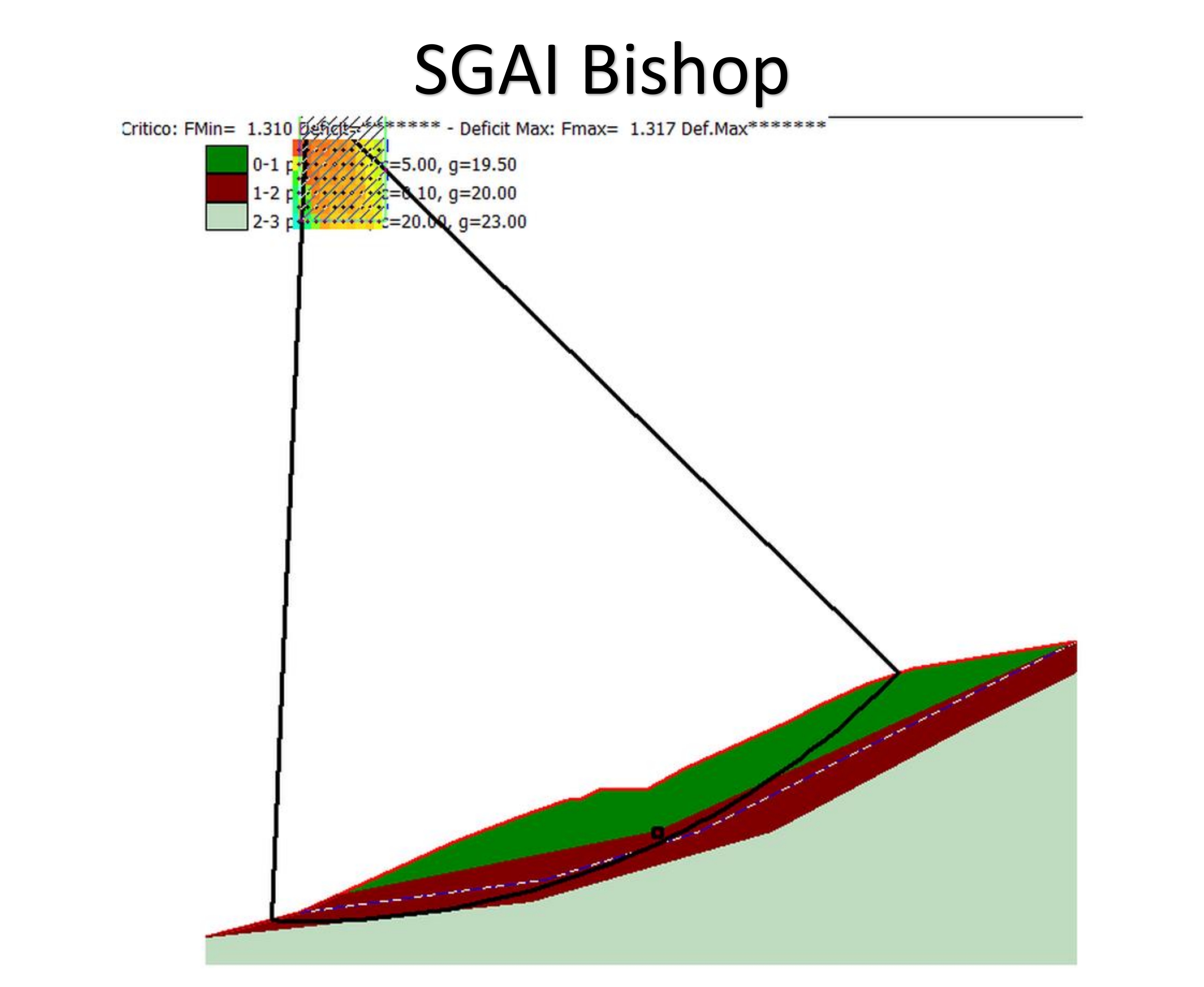
SGAI Bishop – Application program for slope stability analysis based on limit equilibrium method.
This programme is designed for ascertaining the stability of escarpments and, more generally, artificial and/or natural slopes, adopting global limit equilibrium methods. The methods used are: Bishop, Jambu, Bell and Morgenstern and Price. The problem is viewed as plain and the hypothetical sliding surfaces may be circular or assigned for points. The program can be applied to homogenous and non-homogenous structures and allows the introduction of load systems, including concentrated load systems, both external and internal to the slope, as well as the option of counting the effects caused by the presence of interstitial pressures, the introduction of a saturation line and the introduction of stresses due to seismic actions.
#Geotechnical
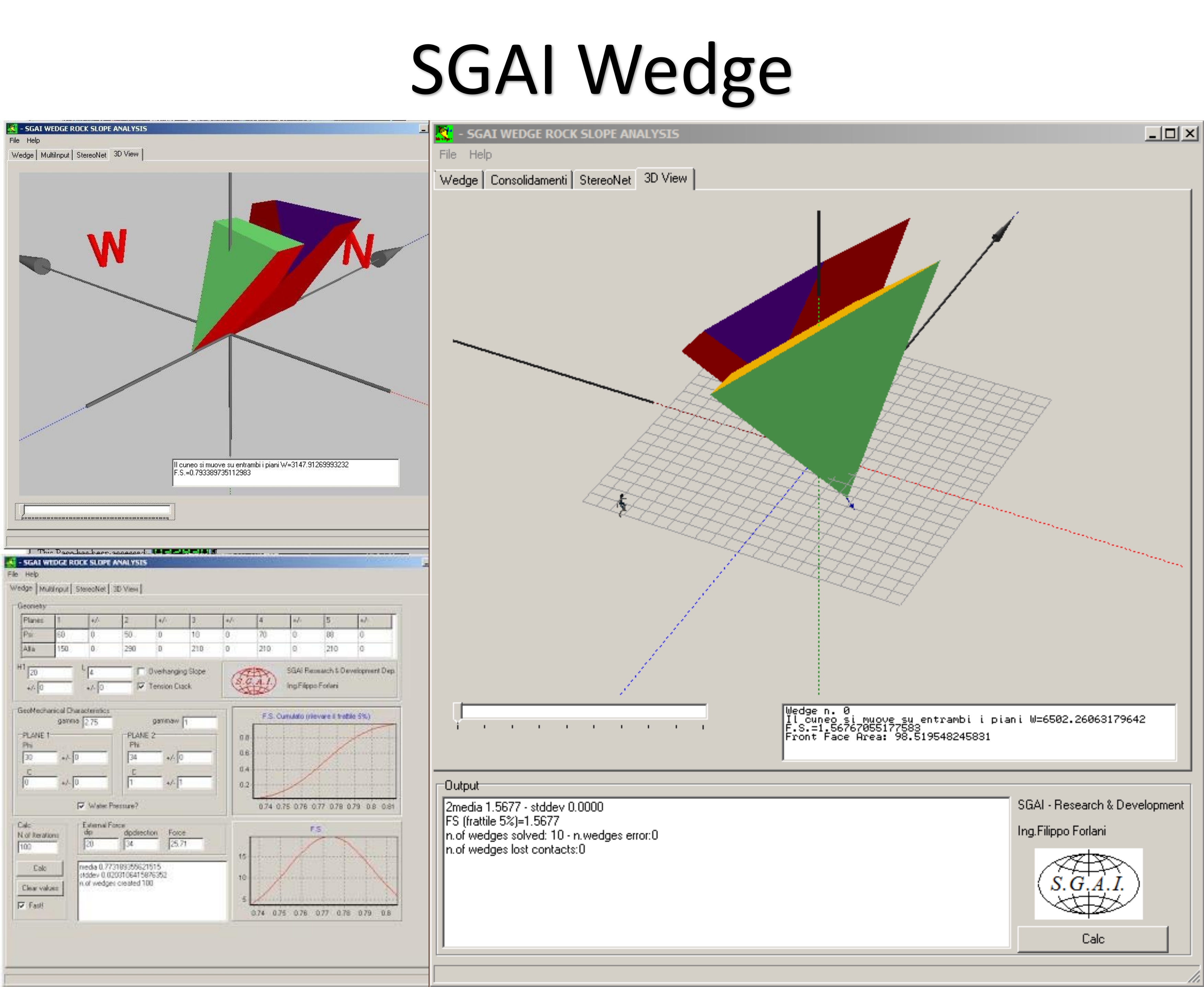
SGAI Wedge – Three-dimensional analysis of wedges detachment from rocky faces according to the theory of Hoek.
#Geotechnical #Geological
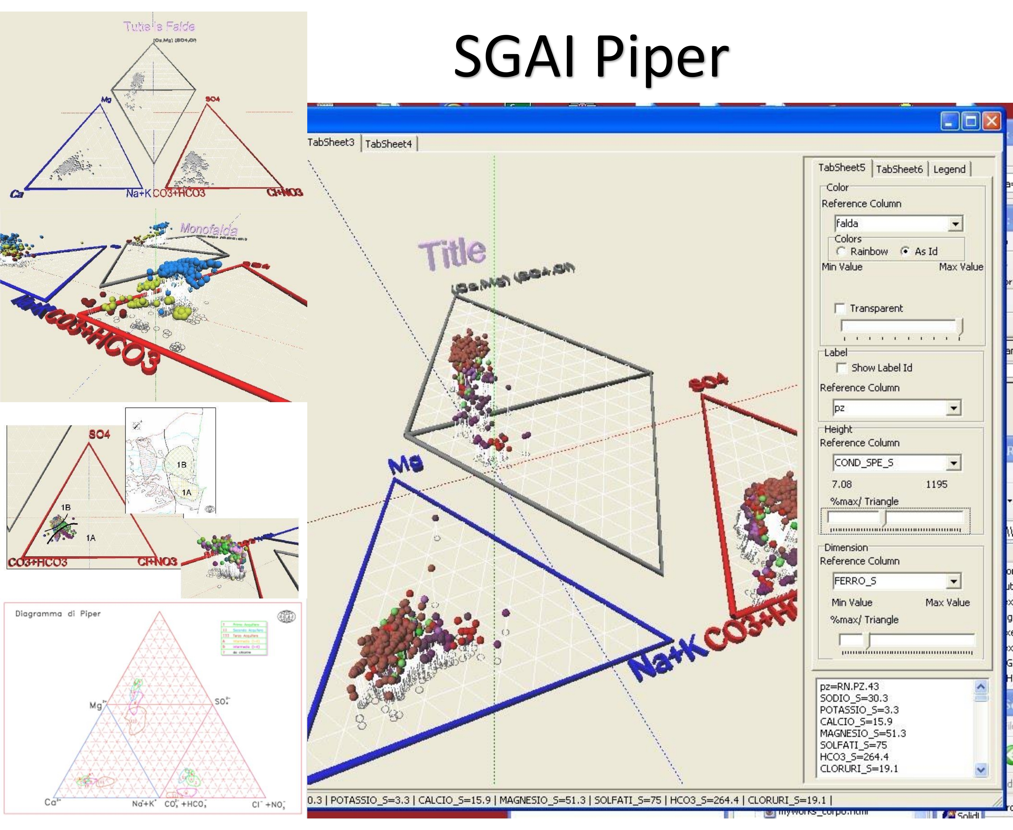
SGAI Piper – Geochemical water composition program.
#Geotechnical #Geological
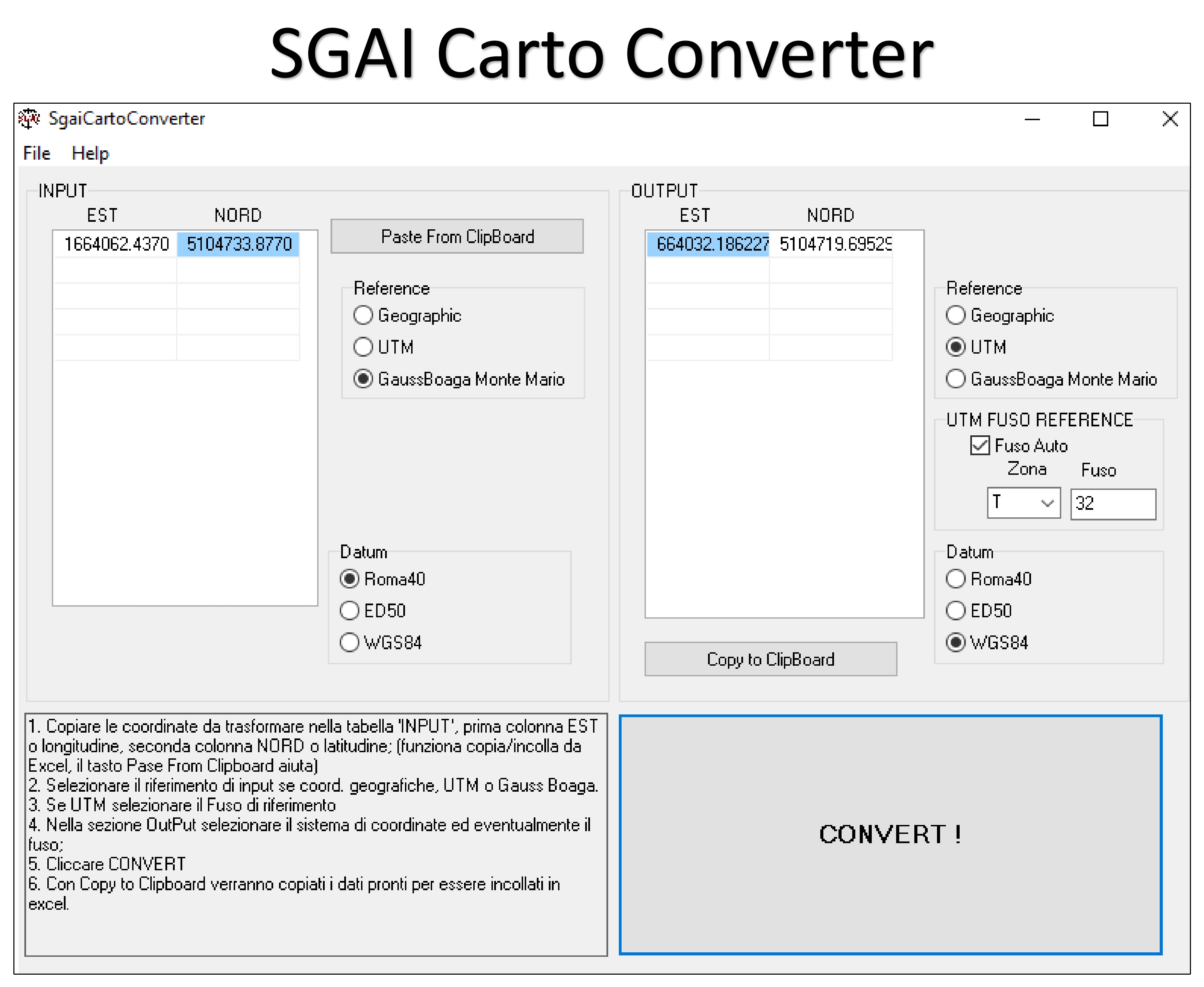
SGAI Cartho – Application program for coordinate systems conversion.
With SGAI Cartho program you can:
- Convert Gauss Boaga Monte Mario coordinates in UTM and vice versa;
- to work quickly with tables like excel and openoffice with simple copy and paste.
#Geotechnical #Geological #Infrastructure
AEDES PCM
Software for earthquake-proof Renovation and Consolidation. With MODAL, STATIC and SEISMIC ANALYSIS, LINEAR, PUSHOVER, KINEMATICS (COLLAPSE MECHANISMS) and PARAMETRIC ANALYSIS (includes sensitivity analysis). Compliant with the CURRENT TECHNICAL REGULATIONS (Ministerial Decree 17.1.2018 with Application Circular no. 7 of 21.1.2019 and related regulatory documents). Includes the availability of previous versions of PCM for analysis with previous Standards (Ministerial Decree 16.1.1996, Regional Law Umbria and Marche, Ministerial Decree 20.11.1987 and related Standards).
